Readings Newsletter
Become a Readings Member to make your shopping experience even easier.
Sign in or sign up for free!
You’re not far away from qualifying for FREE standard shipping within Australia
You’ve qualified for FREE standard shipping within Australia
The cart is loading…


This title is printed to order. This book may have been self-published. If so, we cannot guarantee the quality of the content. In the main most books will have gone through the editing process however some may not. We therefore suggest that you be aware of this before ordering this book. If in doubt check either the author or publisher’s details as we are unable to accept any returns unless they are faulty. Please contact us if you have any questions.
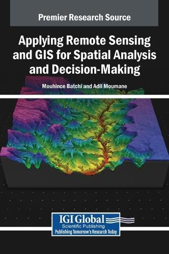
Remote sensing and Geographic Information Systems (GIS) have become indispensable tools for understanding our planet's complex systems and addressing a wide range of environmental, social, and economic challenges. With several environmental and social factors coming to a head, it is important that our society utilizes every tool at its disposal in order to identify these issues and make comprehensive action plans in order to avoid negative social and environmental consequences. Applying Remote Sensing and GIS for Spatial Analysis and Decision-Making offers a comprehensive exploration of the applications of remote sensing, Geographic Information Systems (GIS), and emerging technologies in spatial analysis and decision-making across various domains. The book explores fundamental principles, methodologies, and advanced techniques pertinent to remote sensing and GIS, while also discussing the integration of emerging technologies such as unmanned aerial vehicles (UAVs), hyperspectral imaging, LiDAR, machine learning, and artificial intelligence (AI). Covering topics such as climate change modeling, land resources, and spatial data analysis, this book is an excellent resource for researchers and academicians, urban planners, practitioners, professionals, policy makers, postgraduate students and educators, and more.
$9.00 standard shipping within Australia
FREE standard shipping within Australia for orders over $100.00
Express & International shipping calculated at checkout
This title is printed to order. This book may have been self-published. If so, we cannot guarantee the quality of the content. In the main most books will have gone through the editing process however some may not. We therefore suggest that you be aware of this before ordering this book. If in doubt check either the author or publisher’s details as we are unable to accept any returns unless they are faulty. Please contact us if you have any questions.
Remote sensing and Geographic Information Systems (GIS) have become indispensable tools for understanding our planet's complex systems and addressing a wide range of environmental, social, and economic challenges. With several environmental and social factors coming to a head, it is important that our society utilizes every tool at its disposal in order to identify these issues and make comprehensive action plans in order to avoid negative social and environmental consequences. Applying Remote Sensing and GIS for Spatial Analysis and Decision-Making offers a comprehensive exploration of the applications of remote sensing, Geographic Information Systems (GIS), and emerging technologies in spatial analysis and decision-making across various domains. The book explores fundamental principles, methodologies, and advanced techniques pertinent to remote sensing and GIS, while also discussing the integration of emerging technologies such as unmanned aerial vehicles (UAVs), hyperspectral imaging, LiDAR, machine learning, and artificial intelligence (AI). Covering topics such as climate change modeling, land resources, and spatial data analysis, this book is an excellent resource for researchers and academicians, urban planners, practitioners, professionals, policy makers, postgraduate students and educators, and more.