Readings Newsletter
Become a Readings Member to make your shopping experience even easier.
Sign in or sign up for free!
You’re not far away from qualifying for FREE standard shipping within Australia
You’ve qualified for FREE standard shipping within Australia
The cart is loading…


This title is printed to order. This book may have been self-published. If so, we cannot guarantee the quality of the content. In the main most books will have gone through the editing process however some may not. We therefore suggest that you be aware of this before ordering this book. If in doubt check either the author or publisher’s details as we are unable to accept any returns unless they are faulty. Please contact us if you have any questions.
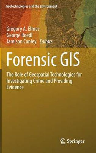
A variety of disciplines and professions have embraced geospatial technologies for collecting, storing, manipulating, analyzing and displaying spatial data to investigate crime, prosecute and convict offenders, exonerate suspects and submit evidence in civil lawsuits. The applications, acceptability and relevance and procedural legality of each geospatial technologies vary. The purpose of this book is to explain the nature of geospatial technologies, demonstrate a variety of geospatial applications used to investigate and litigate civil and criminal activities and to provide a reference of current acceptability of geospatial technology in the production of evidence. This book is an introductory overview designed to appeal to researchers and practitioners across disciplinary boundaries. The authors of this book are researchers and practitioners across disciplines and professions, experts in the field.
$9.00 standard shipping within Australia
FREE standard shipping within Australia for orders over $100.00
Express & International shipping calculated at checkout
This title is printed to order. This book may have been self-published. If so, we cannot guarantee the quality of the content. In the main most books will have gone through the editing process however some may not. We therefore suggest that you be aware of this before ordering this book. If in doubt check either the author or publisher’s details as we are unable to accept any returns unless they are faulty. Please contact us if you have any questions.
A variety of disciplines and professions have embraced geospatial technologies for collecting, storing, manipulating, analyzing and displaying spatial data to investigate crime, prosecute and convict offenders, exonerate suspects and submit evidence in civil lawsuits. The applications, acceptability and relevance and procedural legality of each geospatial technologies vary. The purpose of this book is to explain the nature of geospatial technologies, demonstrate a variety of geospatial applications used to investigate and litigate civil and criminal activities and to provide a reference of current acceptability of geospatial technology in the production of evidence. This book is an introductory overview designed to appeal to researchers and practitioners across disciplinary boundaries. The authors of this book are researchers and practitioners across disciplines and professions, experts in the field.