Readings Newsletter
Become a Readings Member to make your shopping experience even easier.
Sign in or sign up for free!
You’re not far away from qualifying for FREE standard shipping within Australia
You’ve qualified for FREE standard shipping within Australia
The cart is loading…


This title is printed to order. This book may have been self-published. If so, we cannot guarantee the quality of the content. In the main most books will have gone through the editing process however some may not. We therefore suggest that you be aware of this before ordering this book. If in doubt check either the author or publisher’s details as we are unable to accept any returns unless they are faulty. Please contact us if you have any questions.
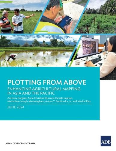
This report provides insights on how geospatial technologies can be used to develop methodological tools for measuring agricultural land more accurately and cost-efficiently in Asia and the Pacific.
Based on pilot application in Armenia, the Cook Islands, and the Lao People's Democratic Republic, the report outlines four methods to measure agricultural parcels using global positioning systems and assesses the benefits and limitations of each. It also explains some key considerations that statistics offices and line ministries need to consider to maximize how these technologies and tools can inform agricultural policy and planning.
$9.00 standard shipping within Australia
FREE standard shipping within Australia for orders over $100.00
Express & International shipping calculated at checkout
This title is printed to order. This book may have been self-published. If so, we cannot guarantee the quality of the content. In the main most books will have gone through the editing process however some may not. We therefore suggest that you be aware of this before ordering this book. If in doubt check either the author or publisher’s details as we are unable to accept any returns unless they are faulty. Please contact us if you have any questions.
This report provides insights on how geospatial technologies can be used to develop methodological tools for measuring agricultural land more accurately and cost-efficiently in Asia and the Pacific.
Based on pilot application in Armenia, the Cook Islands, and the Lao People's Democratic Republic, the report outlines four methods to measure agricultural parcels using global positioning systems and assesses the benefits and limitations of each. It also explains some key considerations that statistics offices and line ministries need to consider to maximize how these technologies and tools can inform agricultural policy and planning.
Search our extensive online catalogue.
