Readings Newsletter
Become a Readings Member to make your shopping experience even easier.
Sign in or sign up for free!
You’re not far away from qualifying for FREE standard shipping within Australia
You’ve qualified for FREE standard shipping within Australia
The cart is loading…


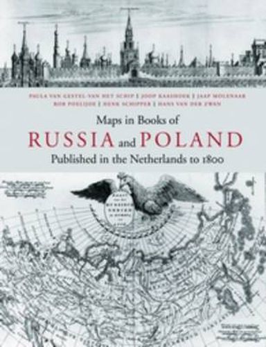
The decision to embark on researching maps in books has resulted in a publication, presenting an unique combination of maps, plans and views. It concerns those, tucked away in historical and geographical works on Russia and Poland, prior to 1800 and published in the Netherlands. Both maps and books are elaborately described, analysed and indexed; much attention has been lavished on their authors, engravers and publishers to boot. The cartographic subdivision of the maps according to their regions brings to light the specific interrelation between the various works by differing authors. The comprehensive introduction describes the history of Russia and Poland from various points of view for specific subjects and comes richly illustrated with over 100 images. The cartobibliography contains illustrations for each of the over 700 maps described and the bibliography features a large number of title pages and portraits in addition. This unusual combination of research objectives should appeal to map and book historians and collectors alike. A large folding view of the city of Moscow by Cornelis de Bruijn (1711) has been added in facsimile at the back of this publication. Summaries in Russian and Polish complete this publication. In English with Polish and Russian summary.
$9.00 standard shipping within Australia
FREE standard shipping within Australia for orders over $100.00
Express & International shipping calculated at checkout
The decision to embark on researching maps in books has resulted in a publication, presenting an unique combination of maps, plans and views. It concerns those, tucked away in historical and geographical works on Russia and Poland, prior to 1800 and published in the Netherlands. Both maps and books are elaborately described, analysed and indexed; much attention has been lavished on their authors, engravers and publishers to boot. The cartographic subdivision of the maps according to their regions brings to light the specific interrelation between the various works by differing authors. The comprehensive introduction describes the history of Russia and Poland from various points of view for specific subjects and comes richly illustrated with over 100 images. The cartobibliography contains illustrations for each of the over 700 maps described and the bibliography features a large number of title pages and portraits in addition. This unusual combination of research objectives should appeal to map and book historians and collectors alike. A large folding view of the city of Moscow by Cornelis de Bruijn (1711) has been added in facsimile at the back of this publication. Summaries in Russian and Polish complete this publication. In English with Polish and Russian summary.
Search our extensive online catalogue.
