Readings Newsletter
Become a Readings Member to make your shopping experience even easier.
Sign in or sign up for free!
You’re not far away from qualifying for FREE standard shipping within Australia
You’ve qualified for FREE standard shipping within Australia
The cart is loading…


This title is printed to order. This book may have been self-published. If so, we cannot guarantee the quality of the content. In the main most books will have gone through the editing process however some may not. We therefore suggest that you be aware of this before ordering this book. If in doubt check either the author or publisher’s details as we are unable to accept any returns unless they are faulty. Please contact us if you have any questions.
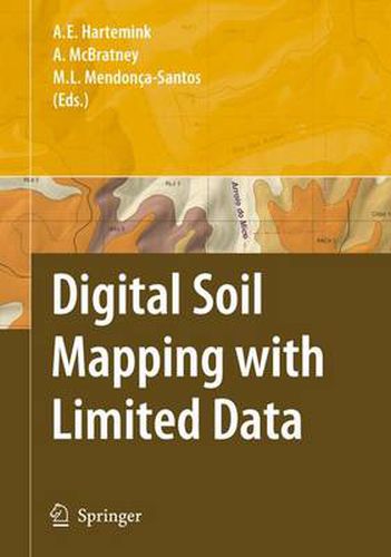
Signi?cant technological advances have been few and far between in the past approximately one hundred years of soil survey activities. Perhaps one of the most innovative techniques in the history of soil survey was the introduction of aerial photographs as base maps for ?eld mapping, which replaced the conventional base map laboriously prepared by planetable and alidade. Such a relatively simple idea by today’s standards revolutionized soil surveys by vastly increasing the accuracy and ef?ciently. Yet, even this innovative approach did not gain universal acceptance immediately and was hampered by a lack of aerial coverage of the world, funds to cover the costs, and in some cases a reluctance by some soil mappers and cartog- phers to change. Digital Soil Mapping (DSM), which is already being used and tested by groups of dedicated and innovative pedologists, is perhaps the next great advancement in delivering soil survey information. However, like many new technologies, it too has yet to gain universal acceptance and is hampered by ignorance on the part of some pedologists and other scientists. DSM is a spatial soil information system created by numerical models that - count for the spatial and temporal variations of soil properties based on soil - formation and related environmental variables (Lagacheric and McBratney, 2007).
$9.00 standard shipping within Australia
FREE standard shipping within Australia for orders over $100.00
Express & International shipping calculated at checkout
This title is printed to order. This book may have been self-published. If so, we cannot guarantee the quality of the content. In the main most books will have gone through the editing process however some may not. We therefore suggest that you be aware of this before ordering this book. If in doubt check either the author or publisher’s details as we are unable to accept any returns unless they are faulty. Please contact us if you have any questions.
Signi?cant technological advances have been few and far between in the past approximately one hundred years of soil survey activities. Perhaps one of the most innovative techniques in the history of soil survey was the introduction of aerial photographs as base maps for ?eld mapping, which replaced the conventional base map laboriously prepared by planetable and alidade. Such a relatively simple idea by today’s standards revolutionized soil surveys by vastly increasing the accuracy and ef?ciently. Yet, even this innovative approach did not gain universal acceptance immediately and was hampered by a lack of aerial coverage of the world, funds to cover the costs, and in some cases a reluctance by some soil mappers and cartog- phers to change. Digital Soil Mapping (DSM), which is already being used and tested by groups of dedicated and innovative pedologists, is perhaps the next great advancement in delivering soil survey information. However, like many new technologies, it too has yet to gain universal acceptance and is hampered by ignorance on the part of some pedologists and other scientists. DSM is a spatial soil information system created by numerical models that - count for the spatial and temporal variations of soil properties based on soil - formation and related environmental variables (Lagacheric and McBratney, 2007).