Readings Newsletter
Become a Readings Member to make your shopping experience even easier.
Sign in or sign up for free!
You’re not far away from qualifying for FREE standard shipping within Australia
You’ve qualified for FREE standard shipping within Australia
The cart is loading…


This title is printed to order. This book may have been self-published. If so, we cannot guarantee the quality of the content. In the main most books will have gone through the editing process however some may not. We therefore suggest that you be aware of this before ordering this book. If in doubt check either the author or publisher’s details as we are unable to accept any returns unless they are faulty. Please contact us if you have any questions.
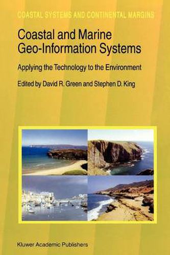
This volume comprises a collection of 40 chapters by experts dealing with the application of Geographical Information Systems (GIS), remote sensing, cartography, visualisation and Global Positioning Systems (GPS) to coastal and marine environments around the world. Aimed primarily at the practising marine and coastal zone manager, it provides an up-to-date examination of the application of geo-information and spatial technologies to a wide range of topics such as fisheries, coastal geomorphology, the use of remotely sensed imagery, coastal vegetation mapping, coastal pollution, landscape ecology, and decision support systems (DSS). Audience: This book should be useful to researchers, managers and practitioners at coastal organisations, agencies and research centers, as well as professionals in the marine and coastal GIS and remote sensing industry.
$9.00 standard shipping within Australia
FREE standard shipping within Australia for orders over $100.00
Express & International shipping calculated at checkout
This title is printed to order. This book may have been self-published. If so, we cannot guarantee the quality of the content. In the main most books will have gone through the editing process however some may not. We therefore suggest that you be aware of this before ordering this book. If in doubt check either the author or publisher’s details as we are unable to accept any returns unless they are faulty. Please contact us if you have any questions.
This volume comprises a collection of 40 chapters by experts dealing with the application of Geographical Information Systems (GIS), remote sensing, cartography, visualisation and Global Positioning Systems (GPS) to coastal and marine environments around the world. Aimed primarily at the practising marine and coastal zone manager, it provides an up-to-date examination of the application of geo-information and spatial technologies to a wide range of topics such as fisheries, coastal geomorphology, the use of remotely sensed imagery, coastal vegetation mapping, coastal pollution, landscape ecology, and decision support systems (DSS). Audience: This book should be useful to researchers, managers and practitioners at coastal organisations, agencies and research centers, as well as professionals in the marine and coastal GIS and remote sensing industry.