Readings Newsletter
Become a Readings Member to make your shopping experience even easier.
Sign in or sign up for free!
You’re not far away from qualifying for FREE standard shipping within Australia
You’ve qualified for FREE standard shipping within Australia
The cart is loading…


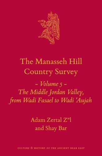
The book presents the results of a complete detailed survey of the eastern region of Samaria, mainly the Middle Jordan Valley, within the territory of Israel/Palestine. It is Volume 5 of the Manasseh Hill Country Survey publications. This project, in progress since 1978, and covering 2500 sq. km, is a thorough, metre-by-metre mapping of the archaeological-historical area between the River Jordan and the Sharon Plain, and between Nahal ‘Iron and the north-eastern point of the Dead Sea. This territory is one of the most important in the country from the Biblical and archaeological view; and the survey is a valuable tool for scholars of the Bible, archaeology, Near Eastern history and other aspects of the Holy Land.
This volume describes the area of the Jordan Valley between Wadi Fasael in the north and Wadi 'Aujah in the south. It is a fully revised and updated version of the Hebrew publication of 2012.
This rich volume makes an important contribution to the corpus of archaeological and historical knowledge about the land of Israel, and it will be a necessary acquisition for academic libraries. It will be of great interest to all those concerned with the study of the history and ar-chaeology of the land of Israel. - Ralph K. Hawkins, Averett University, Danville, VA, in: Near East Archaeological Society Bulletin 64 (2019)
$9.00 standard shipping within Australia
FREE standard shipping within Australia for orders over $100.00
Express & International shipping calculated at checkout
The book presents the results of a complete detailed survey of the eastern region of Samaria, mainly the Middle Jordan Valley, within the territory of Israel/Palestine. It is Volume 5 of the Manasseh Hill Country Survey publications. This project, in progress since 1978, and covering 2500 sq. km, is a thorough, metre-by-metre mapping of the archaeological-historical area between the River Jordan and the Sharon Plain, and between Nahal ‘Iron and the north-eastern point of the Dead Sea. This territory is one of the most important in the country from the Biblical and archaeological view; and the survey is a valuable tool for scholars of the Bible, archaeology, Near Eastern history and other aspects of the Holy Land.
This volume describes the area of the Jordan Valley between Wadi Fasael in the north and Wadi 'Aujah in the south. It is a fully revised and updated version of the Hebrew publication of 2012.
This rich volume makes an important contribution to the corpus of archaeological and historical knowledge about the land of Israel, and it will be a necessary acquisition for academic libraries. It will be of great interest to all those concerned with the study of the history and ar-chaeology of the land of Israel. - Ralph K. Hawkins, Averett University, Danville, VA, in: Near East Archaeological Society Bulletin 64 (2019)