Readings Newsletter
Become a Readings Member to make your shopping experience even easier.
Sign in or sign up for free!
You’re not far away from qualifying for FREE standard shipping within Australia
You’ve qualified for FREE standard shipping within Australia
The cart is loading…


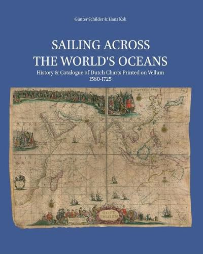
This illustrated cartobibligraphy describes and analyses about 150 charts, printed by commercial Amsterdam charts publishers between the sixteenth and the eighteenth century. With over 800 full colour illustrations. The first part of the book discusses Amsterdam as a centre for map production and distribution, navigation techniques and the developing world image.
$9.00 standard shipping within Australia
FREE standard shipping within Australia for orders over $100.00
Express & International shipping calculated at checkout
This illustrated cartobibligraphy describes and analyses about 150 charts, printed by commercial Amsterdam charts publishers between the sixteenth and the eighteenth century. With over 800 full colour illustrations. The first part of the book discusses Amsterdam as a centre for map production and distribution, navigation techniques and the developing world image.
Search our extensive online catalogue.
