Readings Newsletter
Become a Readings Member to make your shopping experience even easier.
Sign in or sign up for free!
You’re not far away from qualifying for FREE standard shipping within Australia
You’ve qualified for FREE standard shipping within Australia
The cart is loading…


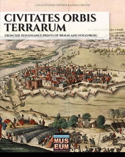
One of the first atlases in history was created by Georg Braun in 1572, thanks to technological improvements and new geographical discoveries: modern cartography was rising at the same time with mankind during Renaissance. In this first volume dedicated to Civitates Orbis Terrarum are reported the 80 plates describing Italy, from north to south, and following the navigation through the Mediterranean Sea’s costs. We invite you to a trip where you can explore and recognize familiar cities and towns, but are you ready to discover their appearance five centuries ago?
$9.00 standard shipping within Australia
FREE standard shipping within Australia for orders over $100.00
Express & International shipping calculated at checkout
One of the first atlases in history was created by Georg Braun in 1572, thanks to technological improvements and new geographical discoveries: modern cartography was rising at the same time with mankind during Renaissance. In this first volume dedicated to Civitates Orbis Terrarum are reported the 80 plates describing Italy, from north to south, and following the navigation through the Mediterranean Sea’s costs. We invite you to a trip where you can explore and recognize familiar cities and towns, but are you ready to discover their appearance five centuries ago?