Readings Newsletter
Become a Readings Member to make your shopping experience even easier.
Sign in or sign up for free!
You’re not far away from qualifying for FREE standard shipping within Australia
You’ve qualified for FREE standard shipping within Australia
The cart is loading…


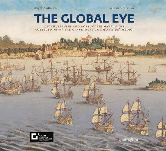
The Global Eye. Dutch, Spanish and Portuguese Maps in the Collections of the Grand Duke Cosimo III de' Medici is the companion catalogue to the exhibition of the same name. For the first time, it presents all 82 'Castello' maps in colour. The maps are so named because from the end of the 18th century until their transfer to the Laurentian Library in 1921 they decorated the rooms of the Medicean villa of Castello outside Florence. From 1667 to 1669, the young Grand Duke Cosimo III conducted his grand tour, which took him to various countries in Europe. While in the Low Countries on his first journey he purchased 65 maps and hand-drawn views of cities; on his second, longer trip he arrived in Lisbon, where he bought copies of maritime maps. The collection of maps and colonial vistas from Holland, Portugal and Spain provide us with insight into the shape of the world in the mid-17th century as well as information about the circulation of people and ideas. The catalogue describes and accurately analyses each map while providing details on the places shown and the contents of the legends and captions, when these are present. The essays discuss the history of the maps, from the time of their purchase by the grand duke to their arrival at the Laurentian Library. SELLING POINTS: . Presents a collection of maps and colonial vistas from Holland, Portugal and Spain held by the Grand Duke Cosimo III 120 colour illustrations
$9.00 standard shipping within Australia
FREE standard shipping within Australia for orders over $100.00
Express & International shipping calculated at checkout
The Global Eye. Dutch, Spanish and Portuguese Maps in the Collections of the Grand Duke Cosimo III de' Medici is the companion catalogue to the exhibition of the same name. For the first time, it presents all 82 'Castello' maps in colour. The maps are so named because from the end of the 18th century until their transfer to the Laurentian Library in 1921 they decorated the rooms of the Medicean villa of Castello outside Florence. From 1667 to 1669, the young Grand Duke Cosimo III conducted his grand tour, which took him to various countries in Europe. While in the Low Countries on his first journey he purchased 65 maps and hand-drawn views of cities; on his second, longer trip he arrived in Lisbon, where he bought copies of maritime maps. The collection of maps and colonial vistas from Holland, Portugal and Spain provide us with insight into the shape of the world in the mid-17th century as well as information about the circulation of people and ideas. The catalogue describes and accurately analyses each map while providing details on the places shown and the contents of the legends and captions, when these are present. The essays discuss the history of the maps, from the time of their purchase by the grand duke to their arrival at the Laurentian Library. SELLING POINTS: . Presents a collection of maps and colonial vistas from Holland, Portugal and Spain held by the Grand Duke Cosimo III 120 colour illustrations
Search our extensive online catalogue.
