Readings Newsletter
Become a Readings Member to make your shopping experience even easier.
Sign in or sign up for free!
You’re not far away from qualifying for FREE standard shipping within Australia
You’ve qualified for FREE standard shipping within Australia
The cart is loading…


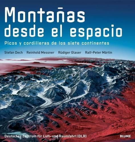
Illustrating the pillars of the seven continents and the diversity of the planet’s ecosystems, this book is a collection of satellite images of peaks and mountain ranges including the Matterhorn, the Andean and Himalayan ranges, and the Hawaiian islands each of which is a part of a scientific investigation. The satellite images are supplemented by old photographs taken by astronauts from space, and each image is described in detail. Nine texts of a scientific nature explain the geographic, geological, climactic, ecological, and historical importance of these mountains, and firsthand accounts from world-class mountain climbers provide a human perspective of these fascinating and imposing geological wonders. Ilustrando los pilares de los siete continentes y la variedad de ecosistemas del planeta, este libro es una coleccion de imagenes de satelite de picos y cordilleras incluyendo el Monte Cervino, las cordilleras andinas y del Himalaya y las islas hawaianas que forman parte de proyectos de investigacion cientifica. Las imagenes por satelite se completan con fotografias antiguas captadas por los astronautas desde el espacio, y cada imagen se describe detalladamente. Nueve textos de caracter cientifico explican la importancia geografica, geologica, climatica, ecologica, cultural e historica de las montanas, y relatos de primera mano de famosos alpinistas proveen una perspectiva humana de estas maravillas geologicas fascinantes e imponentes.
$9.00 standard shipping within Australia
FREE standard shipping within Australia for orders over $100.00
Express & International shipping calculated at checkout
Illustrating the pillars of the seven continents and the diversity of the planet’s ecosystems, this book is a collection of satellite images of peaks and mountain ranges including the Matterhorn, the Andean and Himalayan ranges, and the Hawaiian islands each of which is a part of a scientific investigation. The satellite images are supplemented by old photographs taken by astronauts from space, and each image is described in detail. Nine texts of a scientific nature explain the geographic, geological, climactic, ecological, and historical importance of these mountains, and firsthand accounts from world-class mountain climbers provide a human perspective of these fascinating and imposing geological wonders. Ilustrando los pilares de los siete continentes y la variedad de ecosistemas del planeta, este libro es una coleccion de imagenes de satelite de picos y cordilleras incluyendo el Monte Cervino, las cordilleras andinas y del Himalaya y las islas hawaianas que forman parte de proyectos de investigacion cientifica. Las imagenes por satelite se completan con fotografias antiguas captadas por los astronautas desde el espacio, y cada imagen se describe detalladamente. Nueve textos de caracter cientifico explican la importancia geografica, geologica, climatica, ecologica, cultural e historica de las montanas, y relatos de primera mano de famosos alpinistas proveen una perspectiva humana de estas maravillas geologicas fascinantes e imponentes.
Search our extensive online catalogue.
