Readings Newsletter
Become a Readings Member to make your shopping experience even easier.
Sign in or sign up for free!
You’re not far away from qualifying for FREE standard shipping within Australia
You’ve qualified for FREE standard shipping within Australia
The cart is loading…


The aim was to get to know the floristic composition and phytosociology, obtaining data to compare with another area of caatinga (at a different stage of succession), and subsequently obtaining information to better understand the successional characterisation of caatinga environments. The vegetation survey was carried out in an area of 1.0 hectare in the Corrego do Quixinxe settlement, which covers 5,561.63 hectares and is located in the municipality of Ocara - CE with geographical coordinates 04 degrees36'49.8' South Latitude and 38 degrees36'51' West Longitude. The area was divided into 50 plots measuring 20m x 10m. After this division, the plots were drawn completely at random. The phytosociological survey was carried out in the same order as the plots were drawn. In each plot, live individuals with a stem diameter at ground level >= 3 cm and a total height >= 1 m were measured. Cacti, bromeliads and lianas were not included. Twelve species were recorded, belonging to 11 genera and 7 botanical families, totalling 702 individuals with basal area = 3.47 m (2)/ha and DA= 702 ind/ha.
$9.00 standard shipping within Australia
FREE standard shipping within Australia for orders over $100.00
Express & International shipping calculated at checkout
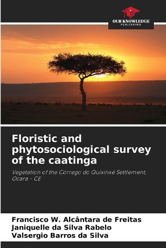
The aim was to get to know the floristic composition and phytosociology, obtaining data to compare with another area of caatinga (at a different stage of succession), and subsequently obtaining information to better understand the successional characterisation of caatinga environments. The vegetation survey was carried out in an area of 1.0 hectare in the Corrego do Quixinxe settlement, which covers 5,561.63 hectares and is located in the municipality of Ocara - CE with geographical coordinates 04 degrees36'49.8' South Latitude and 38 degrees36'51' West Longitude. The area was divided into 50 plots measuring 20m x 10m. After this division, the plots were drawn completely at random. The phytosociological survey was carried out in the same order as the plots were drawn. In each plot, live individuals with a stem diameter at ground level >= 3 cm and a total height >= 1 m were measured. Cacti, bromeliads and lianas were not included. Twelve species were recorded, belonging to 11 genera and 7 botanical families, totalling 702 individuals with basal area = 3.47 m (2)/ha and DA= 702 ind/ha.