Readings Newsletter
Become a Readings Member to make your shopping experience even easier.
Sign in or sign up for free!
You’re not far away from qualifying for FREE standard shipping within Australia
You’ve qualified for FREE standard shipping within Australia
The cart is loading…


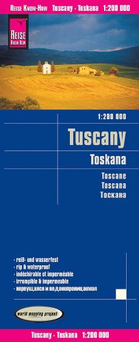
Highly tear-resistant and 100% waterproof map "Tuscany" from the series world mapping project, published by Reise Know-How Verlag. Travel know-how maps are characterized by particularly stable plastic paper, which is writable like paper, even with pencil. The cardboard envelope is removable, so the card can be easily inserted into any pocket. A protective cover is not required. The cartographic representation focuses on the most important information for travelers and is particularly easy to read. Instead of shading, colored height layers are used. Equipment: - Contour lines with altitude indications; - Coloured elevation layers; - Classified road network with distance indications; -Sights; - Detailed location index; - GPS-accurate; - latitude and longitude; - UTM grid; - Five-language legend (german, English, French, Spanish, Russian). Handy format: 70x100 cm, printed on 2 sides. Languages: German, English, French, Spanish, Russian
$9.00 standard shipping within Australia
FREE standard shipping within Australia for orders over $100.00
Express & International shipping calculated at checkout
Highly tear-resistant and 100% waterproof map "Tuscany" from the series world mapping project, published by Reise Know-How Verlag. Travel know-how maps are characterized by particularly stable plastic paper, which is writable like paper, even with pencil. The cardboard envelope is removable, so the card can be easily inserted into any pocket. A protective cover is not required. The cartographic representation focuses on the most important information for travelers and is particularly easy to read. Instead of shading, colored height layers are used. Equipment: - Contour lines with altitude indications; - Coloured elevation layers; - Classified road network with distance indications; -Sights; - Detailed location index; - GPS-accurate; - latitude and longitude; - UTM grid; - Five-language legend (german, English, French, Spanish, Russian). Handy format: 70x100 cm, printed on 2 sides. Languages: German, English, French, Spanish, Russian
Search our extensive online catalogue.
