Readings Newsletter
Become a Readings Member to make your shopping experience even easier.
Sign in or sign up for free!
You’re not far away from qualifying for FREE standard shipping within Australia
You’ve qualified for FREE standard shipping within Australia
The cart is loading…


This title is printed to order. This book may have been self-published. If so, we cannot guarantee the quality of the content. In the main most books will have gone through the editing process however some may not. We therefore suggest that you be aware of this before ordering this book. If in doubt check either the author or publisher’s details as we are unable to accept any returns unless they are faulty. Please contact us if you have any questions.
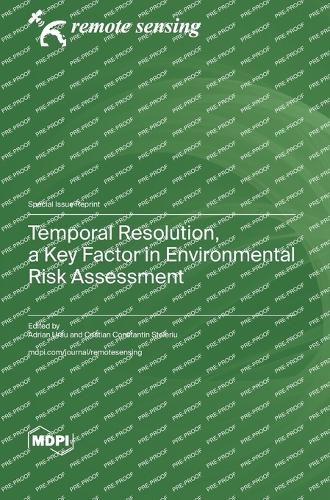
The field of geomatics, which encompasses a range of techniques for the collection, analysis, and interpretation of spatial data, is undergoing a period of rapid growth. In recent years, spatial analysis tools have diversified and technologically advanced, allowing us to use satellite images with superior spatial, spectral, and temporal resolutions. High-quality satellite images with excellent temporal resolution have enabled scientists to evaluate the effects of droughts, hailstorms, hurricanes, tornadoes, floods, deforestation, forest fires, mining accidents, pollution, hazardous material accidents, land-use changes, social events, urbanization, wars, and more. Moreover, a consistent long-term database of satellite images has provided researchers the opportunity to analyze these phenomena historically, facilitating the evaluation of long-term changes in local natural parameters in relation to recent global environmental changes.The research published in this reprint investigates critical environmental phenomena, including ecological vulnerability (assessing ecosystems' sensitivity to stressors), flood risk modeling, the analysis of urban development impacts, monitoring glacier shrinkage and associated hazards, evaluating arable land vulnerability to drought, identifying fire-affected regions, and understanding dynamics in coastal areas. The solutions developed here can be used in environmental management practices worldwide. In summary, geospatial technologies serve as powerful tools for unraveling the intricate dynamics of our planet, contributing to sustainable practices and informed decision-making across borders.
$9.00 standard shipping within Australia
FREE standard shipping within Australia for orders over $100.00
Express & International shipping calculated at checkout
This title is printed to order. This book may have been self-published. If so, we cannot guarantee the quality of the content. In the main most books will have gone through the editing process however some may not. We therefore suggest that you be aware of this before ordering this book. If in doubt check either the author or publisher’s details as we are unable to accept any returns unless they are faulty. Please contact us if you have any questions.
The field of geomatics, which encompasses a range of techniques for the collection, analysis, and interpretation of spatial data, is undergoing a period of rapid growth. In recent years, spatial analysis tools have diversified and technologically advanced, allowing us to use satellite images with superior spatial, spectral, and temporal resolutions. High-quality satellite images with excellent temporal resolution have enabled scientists to evaluate the effects of droughts, hailstorms, hurricanes, tornadoes, floods, deforestation, forest fires, mining accidents, pollution, hazardous material accidents, land-use changes, social events, urbanization, wars, and more. Moreover, a consistent long-term database of satellite images has provided researchers the opportunity to analyze these phenomena historically, facilitating the evaluation of long-term changes in local natural parameters in relation to recent global environmental changes.The research published in this reprint investigates critical environmental phenomena, including ecological vulnerability (assessing ecosystems' sensitivity to stressors), flood risk modeling, the analysis of urban development impacts, monitoring glacier shrinkage and associated hazards, evaluating arable land vulnerability to drought, identifying fire-affected regions, and understanding dynamics in coastal areas. The solutions developed here can be used in environmental management practices worldwide. In summary, geospatial technologies serve as powerful tools for unraveling the intricate dynamics of our planet, contributing to sustainable practices and informed decision-making across borders.