Readings Newsletter
Become a Readings Member to make your shopping experience even easier.
Sign in or sign up for free!
You’re not far away from qualifying for FREE standard shipping within Australia
You’ve qualified for FREE standard shipping within Australia
The cart is loading…


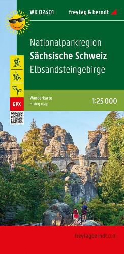
The hiking map at a scale of 1:25,000 is perfect for excursions, hikes and climbing tours in the Saxon Switzerland National Park region . It extends in front of the gates of the art and culture city of Dresden and represents one of the most impressive scenic highlights in Germany. The dense network of hiking trails in the Elbe Sandstone Mountains includes not only the numerous regional hiking trails but also the Elbe Sandstone Mountains Painter's Trail, the Elbe Sandstone Forest Trail and five other marked long-distance hiking trails. The hiking trails on the map are easy to follow thanks to the exact cartography by freytag & berndt and the ideal scale. Demanding passages such as climbs with climbing points or stairs are of course marked on the map.
Information on the hiking map of the National Park Region of Saxon Switzerland
Hiking and long-distance hiking trails Via Ferrata and Rock Climbing Attractive excursion destinations Elbe Cycle Path GPX Tracks zum Download 1:25,000 scale Waterproof and tear resistant 70 x 82 cm, printed on both sides The offer in Saxon Switzerland is so colorful that there is also a lot to experience away from the numerous hiking, cycling and climbing routes. With attractive wellness oases in Bad Schandau or Sebnitz, old castles such as Koenigstein Fortress or Hohnstein Castle and the lovingly designed miniature park "Kleine Sachsische Schweiz" in Dorf Wehlen or the railway worlds in the spa town of Rathen, visitors of all ages are addressed. Waterproof and tear-resistant The hiking map is printed on a special waterproof and durable paper so that it can also be used for orientation on rainy days.
$9.00 standard shipping within Australia
FREE standard shipping within Australia for orders over $100.00
Express & International shipping calculated at checkout
The hiking map at a scale of 1:25,000 is perfect for excursions, hikes and climbing tours in the Saxon Switzerland National Park region . It extends in front of the gates of the art and culture city of Dresden and represents one of the most impressive scenic highlights in Germany. The dense network of hiking trails in the Elbe Sandstone Mountains includes not only the numerous regional hiking trails but also the Elbe Sandstone Mountains Painter's Trail, the Elbe Sandstone Forest Trail and five other marked long-distance hiking trails. The hiking trails on the map are easy to follow thanks to the exact cartography by freytag & berndt and the ideal scale. Demanding passages such as climbs with climbing points or stairs are of course marked on the map.
Information on the hiking map of the National Park Region of Saxon Switzerland
Hiking and long-distance hiking trails Via Ferrata and Rock Climbing Attractive excursion destinations Elbe Cycle Path GPX Tracks zum Download 1:25,000 scale Waterproof and tear resistant 70 x 82 cm, printed on both sides The offer in Saxon Switzerland is so colorful that there is also a lot to experience away from the numerous hiking, cycling and climbing routes. With attractive wellness oases in Bad Schandau or Sebnitz, old castles such as Koenigstein Fortress or Hohnstein Castle and the lovingly designed miniature park "Kleine Sachsische Schweiz" in Dorf Wehlen or the railway worlds in the spa town of Rathen, visitors of all ages are addressed. Waterproof and tear-resistant The hiking map is printed on a special waterproof and durable paper so that it can also be used for orientation on rainy days.
Search our extensive online catalogue.
