Readings Newsletter
Become a Readings Member to make your shopping experience even easier.
Sign in or sign up for free!
You’re not far away from qualifying for FREE standard shipping within Australia
You’ve qualified for FREE standard shipping within Australia
The cart is loading…


This title is printed to order. This book may have been self-published. If so, we cannot guarantee the quality of the content. In the main most books will have gone through the editing process however some may not. We therefore suggest that you be aware of this before ordering this book. If in doubt check either the author or publisher’s details as we are unable to accept any returns unless they are faulty. Please contact us if you have any questions.
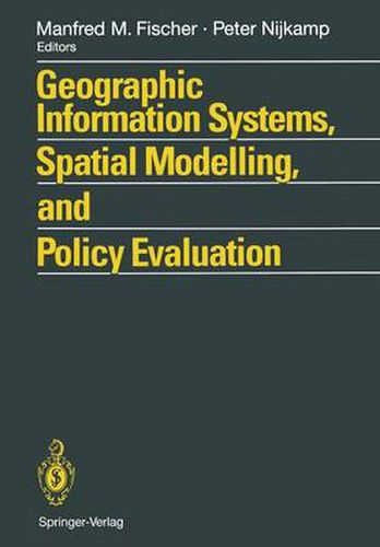
Geographical Information Systems (GIS) provide an enhanced environment for spatial data processing. The ability of geographic information systems to handle and analyse spatially referenced data may be seen as a major characteristic which distinguishes GIS from information systems developed to serve the needs of business data processing as well as from CAD systems or other systems whose primary objective is map production. This book, which contains contributions from a wide-ranging group of international scholars, demonstrates the progress which has been achieved so far at the interface of GIS technology and spatial analysis and planning. The various contributions bring together theoretical and conceptual, technical and applied issues. Topics covered include the design and use of GIS and spatial models, AI tools for spatial modelling in GIS, spatial statistical analysis and GIS, GIS and dynamic modelling, GIS in urban planning and policy making, information systems for policy evaluation, and spatial decision support systems.
$9.00 standard shipping within Australia
FREE standard shipping within Australia for orders over $100.00
Express & International shipping calculated at checkout
This title is printed to order. This book may have been self-published. If so, we cannot guarantee the quality of the content. In the main most books will have gone through the editing process however some may not. We therefore suggest that you be aware of this before ordering this book. If in doubt check either the author or publisher’s details as we are unable to accept any returns unless they are faulty. Please contact us if you have any questions.
Geographical Information Systems (GIS) provide an enhanced environment for spatial data processing. The ability of geographic information systems to handle and analyse spatially referenced data may be seen as a major characteristic which distinguishes GIS from information systems developed to serve the needs of business data processing as well as from CAD systems or other systems whose primary objective is map production. This book, which contains contributions from a wide-ranging group of international scholars, demonstrates the progress which has been achieved so far at the interface of GIS technology and spatial analysis and planning. The various contributions bring together theoretical and conceptual, technical and applied issues. Topics covered include the design and use of GIS and spatial models, AI tools for spatial modelling in GIS, spatial statistical analysis and GIS, GIS and dynamic modelling, GIS in urban planning and policy making, information systems for policy evaluation, and spatial decision support systems.