Readings Newsletter
Become a Readings Member to make your shopping experience even easier.
Sign in or sign up for free!
You’re not far away from qualifying for FREE standard shipping within Australia
You’ve qualified for FREE standard shipping within Australia
The cart is loading…


This title is printed to order. This book may have been self-published. If so, we cannot guarantee the quality of the content. In the main most books will have gone through the editing process however some may not. We therefore suggest that you be aware of this before ordering this book. If in doubt check either the author or publisher’s details as we are unable to accept any returns unless they are faulty. Please contact us if you have any questions.
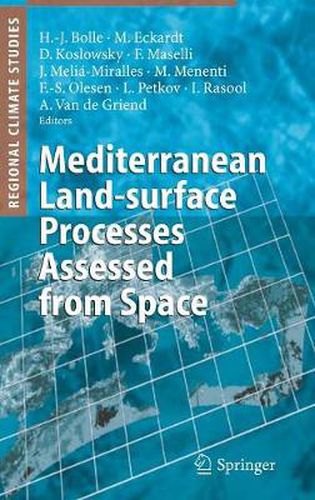
The book describes the steps which lead from the raw signals measured in space to firstly calibrated an comparable long term data sets and in a second step to information for user communities. From the primarily spectral radiances information is inferred which is needed in the context of modeling climate variability such as the variable surface albedo and temperatures, soil moisture, and energy and water vapour fluxes between the surface and the atmosphere. This includes the assessment of medium scale land-surface changes like desertification and biomass productivity. Examples of applications and data validations result from different investigations in the Mediteranean area. An appendix summarizes useful formulas of the evaluation of satellite data. Beside the presentation of research results the book will therefore also be of interest for newcomers in the field and satellite data users who like to understand in greater detail the generation and information content of remote sensing data.
$9.00 standard shipping within Australia
FREE standard shipping within Australia for orders over $100.00
Express & International shipping calculated at checkout
This title is printed to order. This book may have been self-published. If so, we cannot guarantee the quality of the content. In the main most books will have gone through the editing process however some may not. We therefore suggest that you be aware of this before ordering this book. If in doubt check either the author or publisher’s details as we are unable to accept any returns unless they are faulty. Please contact us if you have any questions.
The book describes the steps which lead from the raw signals measured in space to firstly calibrated an comparable long term data sets and in a second step to information for user communities. From the primarily spectral radiances information is inferred which is needed in the context of modeling climate variability such as the variable surface albedo and temperatures, soil moisture, and energy and water vapour fluxes between the surface and the atmosphere. This includes the assessment of medium scale land-surface changes like desertification and biomass productivity. Examples of applications and data validations result from different investigations in the Mediteranean area. An appendix summarizes useful formulas of the evaluation of satellite data. Beside the presentation of research results the book will therefore also be of interest for newcomers in the field and satellite data users who like to understand in greater detail the generation and information content of remote sensing data.