Readings Newsletter
Become a Readings Member to make your shopping experience even easier.
Sign in or sign up for free!
You’re not far away from qualifying for FREE standard shipping within Australia
You’ve qualified for FREE standard shipping within Australia
The cart is loading…


This title is printed to order. This book may have been self-published. If so, we cannot guarantee the quality of the content. In the main most books will have gone through the editing process however some may not. We therefore suggest that you be aware of this before ordering this book. If in doubt check either the author or publisher’s details as we are unable to accept any returns unless they are faulty. Please contact us if you have any questions.
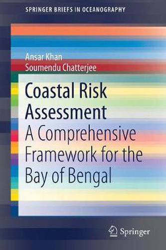
This book discusses how to collect data and analyze databases in order to map risk zones, and contributes to developing a conceptual framework for coastal risk assessment. Further, the book primarily focuses on a specific case study: the Bay of Bengal along the southeastern coast of India. The dramatic rise in losses and casualties due to natural disasters like wind, storm-surge-induced flooding, seismic hazards and tsunami incidence along this coast over the past few decades has prompted a major national scientific initiative investigating the probable causes and possible mitigation strategies. As such, geoscientists are called upon to analyze the coastal hazards by anticipating the changes in and impacts of extreme weather hazards on the Bay of Bengal coasts as a result of global climate change and local sea-level change.
$9.00 standard shipping within Australia
FREE standard shipping within Australia for orders over $100.00
Express & International shipping calculated at checkout
This title is printed to order. This book may have been self-published. If so, we cannot guarantee the quality of the content. In the main most books will have gone through the editing process however some may not. We therefore suggest that you be aware of this before ordering this book. If in doubt check either the author or publisher’s details as we are unable to accept any returns unless they are faulty. Please contact us if you have any questions.
This book discusses how to collect data and analyze databases in order to map risk zones, and contributes to developing a conceptual framework for coastal risk assessment. Further, the book primarily focuses on a specific case study: the Bay of Bengal along the southeastern coast of India. The dramatic rise in losses and casualties due to natural disasters like wind, storm-surge-induced flooding, seismic hazards and tsunami incidence along this coast over the past few decades has prompted a major national scientific initiative investigating the probable causes and possible mitigation strategies. As such, geoscientists are called upon to analyze the coastal hazards by anticipating the changes in and impacts of extreme weather hazards on the Bay of Bengal coasts as a result of global climate change and local sea-level change.