Readings Newsletter
Become a Readings Member to make your shopping experience even easier.
Sign in or sign up for free!
You’re not far away from qualifying for FREE standard shipping within Australia
You’ve qualified for FREE standard shipping within Australia
The cart is loading…


This title is printed to order. This book may have been self-published. If so, we cannot guarantee the quality of the content. In the main most books will have gone through the editing process however some may not. We therefore suggest that you be aware of this before ordering this book. If in doubt check either the author or publisher’s details as we are unable to accept any returns unless they are faulty. Please contact us if you have any questions.
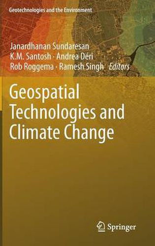
Geospatial Technologies and Climate Change describes various approaches from different countries on how to use geospatial technologies to help solving climate change issues. It also details how different geospatial technologies (remote sensing, Geographical Information System…) can be used to help with climate monitoring and modeling, how to work with them and what to be careful about. This book is written by scientific experts from four different continents. Written in a comprehensive and complete way, this book is essential reading material for graduate and undergraduate students interested in these techniques and in climate change.
$9.00 standard shipping within Australia
FREE standard shipping within Australia for orders over $100.00
Express & International shipping calculated at checkout
This title is printed to order. This book may have been self-published. If so, we cannot guarantee the quality of the content. In the main most books will have gone through the editing process however some may not. We therefore suggest that you be aware of this before ordering this book. If in doubt check either the author or publisher’s details as we are unable to accept any returns unless they are faulty. Please contact us if you have any questions.
Geospatial Technologies and Climate Change describes various approaches from different countries on how to use geospatial technologies to help solving climate change issues. It also details how different geospatial technologies (remote sensing, Geographical Information System…) can be used to help with climate monitoring and modeling, how to work with them and what to be careful about. This book is written by scientific experts from four different continents. Written in a comprehensive and complete way, this book is essential reading material for graduate and undergraduate students interested in these techniques and in climate change.
Search our extensive online catalogue.
