Readings Newsletter
Become a Readings Member to make your shopping experience even easier.
Sign in or sign up for free!
You’re not far away from qualifying for FREE standard shipping within Australia
You’ve qualified for FREE standard shipping within Australia
The cart is loading…


This title is printed to order. This book may have been self-published. If so, we cannot guarantee the quality of the content. In the main most books will have gone through the editing process however some may not. We therefore suggest that you be aware of this before ordering this book. If in doubt check either the author or publisher’s details as we are unable to accept any returns unless they are faulty. Please contact us if you have any questions.
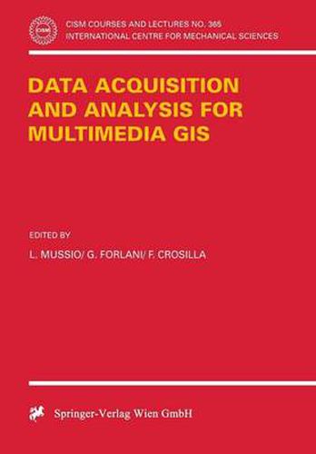
The book contains 31 papers on different fields of application and the problems of modelling and organizing data in structures, the processing techniques of GIS data for queries to the system and the so-called Dynamic GIS have been reported in detail. A final paper on Computer Graphics principles is included. Its contents can be ideally collected in five chapters, in the first one some experiences on data acquisition with low cost DGPS for road survey and overview on Vehicle Navigation Systems (VNS) are shown. The second one GIS data acquisition and evaluation collects a sort of papers treating robust statistical techniques applied to pre-processing, analysis and testing for different kinds of GIS data. Within the topic on image acquisition and preprocessing in particular some experiences on test and calibration of different scanners for GIS data acquisition are reported as well as some original approaches to the automatic DTM generation for cartographic and close range applications. Finally, some applications to the environmental monitoring and to the use of different kinds of geodetic data in multipurpose regional GIS, together with some examples of the applicability of multimedia technology to architecture and civil engineering is shown.
$9.00 standard shipping within Australia
FREE standard shipping within Australia for orders over $100.00
Express & International shipping calculated at checkout
This title is printed to order. This book may have been self-published. If so, we cannot guarantee the quality of the content. In the main most books will have gone through the editing process however some may not. We therefore suggest that you be aware of this before ordering this book. If in doubt check either the author or publisher’s details as we are unable to accept any returns unless they are faulty. Please contact us if you have any questions.
The book contains 31 papers on different fields of application and the problems of modelling and organizing data in structures, the processing techniques of GIS data for queries to the system and the so-called Dynamic GIS have been reported in detail. A final paper on Computer Graphics principles is included. Its contents can be ideally collected in five chapters, in the first one some experiences on data acquisition with low cost DGPS for road survey and overview on Vehicle Navigation Systems (VNS) are shown. The second one GIS data acquisition and evaluation collects a sort of papers treating robust statistical techniques applied to pre-processing, analysis and testing for different kinds of GIS data. Within the topic on image acquisition and preprocessing in particular some experiences on test and calibration of different scanners for GIS data acquisition are reported as well as some original approaches to the automatic DTM generation for cartographic and close range applications. Finally, some applications to the environmental monitoring and to the use of different kinds of geodetic data in multipurpose regional GIS, together with some examples of the applicability of multimedia technology to architecture and civil engineering is shown.