Readings Newsletter
Become a Readings Member to make your shopping experience even easier.
Sign in or sign up for free!
You’re not far away from qualifying for FREE standard shipping within Australia
You’ve qualified for FREE standard shipping within Australia
The cart is loading…


This title is printed to order. This book may have been self-published. If so, we cannot guarantee the quality of the content. In the main most books will have gone through the editing process however some may not. We therefore suggest that you be aware of this before ordering this book. If in doubt check either the author or publisher’s details as we are unable to accept any returns unless they are faulty. Please contact us if you have any questions.
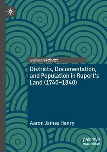
This book interrogates how districts were used in British North America to inspect, and document indigenous people by the Hudson’s Bay Company (HBC). In particular, it examines how the HBC utilized districts to create a political geography that allowed for closer surveillance of indigenous people and stabilized debt. An initial examination of how the district was used to rework earlier 18th-century conducts of observation into the more ordered and spatially limited regime of inspection is undertaken, followed by an investigation of how the district became central to the HBC’s efforts to limit the movement of indigenous people, individualize hunters, and spur ‘industriousness’. The book points to how districts became key to a number of colonial projects, laying the infrastructure for the modern reserve system in Canada. In this sense, the book provides a critical genealogy of how the command of space and social vision shaped Canada’s colonial geography.
$9.00 standard shipping within Australia
FREE standard shipping within Australia for orders over $100.00
Express & International shipping calculated at checkout
This title is printed to order. This book may have been self-published. If so, we cannot guarantee the quality of the content. In the main most books will have gone through the editing process however some may not. We therefore suggest that you be aware of this before ordering this book. If in doubt check either the author or publisher’s details as we are unable to accept any returns unless they are faulty. Please contact us if you have any questions.
This book interrogates how districts were used in British North America to inspect, and document indigenous people by the Hudson’s Bay Company (HBC). In particular, it examines how the HBC utilized districts to create a political geography that allowed for closer surveillance of indigenous people and stabilized debt. An initial examination of how the district was used to rework earlier 18th-century conducts of observation into the more ordered and spatially limited regime of inspection is undertaken, followed by an investigation of how the district became central to the HBC’s efforts to limit the movement of indigenous people, individualize hunters, and spur ‘industriousness’. The book points to how districts became key to a number of colonial projects, laying the infrastructure for the modern reserve system in Canada. In this sense, the book provides a critical genealogy of how the command of space and social vision shaped Canada’s colonial geography.