Readings Newsletter
Become a Readings Member to make your shopping experience even easier.
Sign in or sign up for free!
You’re not far away from qualifying for FREE standard shipping within Australia
You’ve qualified for FREE standard shipping within Australia
The cart is loading…


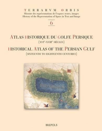
The Historical Atlas of the Persian Gulf is a joint initiative of the Ecole Pratique des Hautes Etudes in Paris, the University of Tehran, and the Documentation Centre of the Ministry of Foreign Affairs of Iran. The aim of this trilingual (French, English and Persian) publication is to trace the evolution of the cartographical representations of the Gulf between 1500 and 1750. About a hundred printed and manuscript maps from libraries and archives all over Europe, the United States and Iran have been gathered, some of them being published for the first time. The maps and charts are presented in five sections dedicated to Portuguese, Dutch, French, English and German cartography. Each item is published with enlarged detail reproductions showing the Gulf, and accompanied by brief commentaries as well as transcriptions of the place names and legends. The authors make numerous suggestions as to how the maps and charts developed in the context of international scientific exchange during the Early Modern age. Hence, the Atlas shows new perspectives on the genealogy of Gulf maps and provides an excellent working tool for future research on the cartography and the history of one of the Worlds great strategic areas.
$9.00 standard shipping within Australia
FREE standard shipping within Australia for orders over $100.00
Express & International shipping calculated at checkout
The Historical Atlas of the Persian Gulf is a joint initiative of the Ecole Pratique des Hautes Etudes in Paris, the University of Tehran, and the Documentation Centre of the Ministry of Foreign Affairs of Iran. The aim of this trilingual (French, English and Persian) publication is to trace the evolution of the cartographical representations of the Gulf between 1500 and 1750. About a hundred printed and manuscript maps from libraries and archives all over Europe, the United States and Iran have been gathered, some of them being published for the first time. The maps and charts are presented in five sections dedicated to Portuguese, Dutch, French, English and German cartography. Each item is published with enlarged detail reproductions showing the Gulf, and accompanied by brief commentaries as well as transcriptions of the place names and legends. The authors make numerous suggestions as to how the maps and charts developed in the context of international scientific exchange during the Early Modern age. Hence, the Atlas shows new perspectives on the genealogy of Gulf maps and provides an excellent working tool for future research on the cartography and the history of one of the Worlds great strategic areas.
Search our extensive online catalogue.
