Readings Newsletter
Become a Readings Member to make your shopping experience even easier.
Sign in or sign up for free!
You’re not far away from qualifying for FREE standard shipping within Australia
You’ve qualified for FREE standard shipping within Australia
The cart is loading…


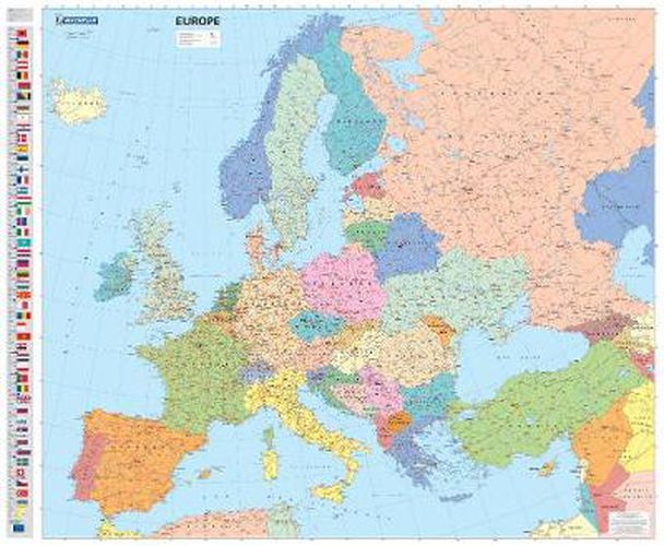
Educational and decorative, this Europe political wall map is ideal for use in both home and office. Updated annually and beautifully coloured, this map highlights flags of each European country and includes information on population, surface area and density.
This map also shows main European road networks, cities and capitals. This laminated map is presented on a scale ¼,300,000 and measures 100 x 122 cm.
Our maps are regularly updated even if the ISBN does not change. (Edition updated in 2016)
$9.00 standard shipping within Australia
FREE standard shipping within Australia for orders over $100.00
Express & International shipping calculated at checkout
Educational and decorative, this Europe political wall map is ideal for use in both home and office. Updated annually and beautifully coloured, this map highlights flags of each European country and includes information on population, surface area and density.
This map also shows main European road networks, cities and capitals. This laminated map is presented on a scale ¼,300,000 and measures 100 x 122 cm.
Our maps are regularly updated even if the ISBN does not change. (Edition updated in 2016)
Search our extensive online catalogue.
