Readings Newsletter
Become a Readings Member to make your shopping experience even easier.
Sign in or sign up for free!
You’re not far away from qualifying for FREE standard shipping within Australia
You’ve qualified for FREE standard shipping within Australia
The cart is loading…


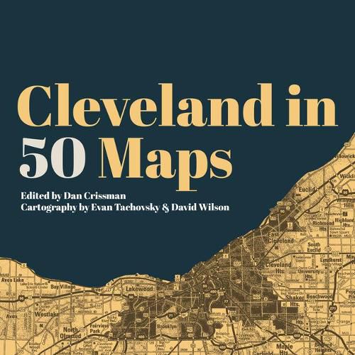
An urban atlas that is about so much more than directions, Cleveland in 50 Maps offers new perspectives on one of America’s most misunderstood cities.
The best maps let you feel what a place is really like, and Cleveland in 50 Maps deconstructs the Forest City in a way that’s never been done before. With colorful maps and insightful commentary, follow the changing locations of breweries, music venues, and commuter rail lines. Track the Cleveland Clinic’s growing east side footprint, year-by-year attendance at the Jake, and the addition of communities to the Cultural Gardens. Find out which local high schools produce the most NFL players and which locations major presidential candidates visited in 2016. Discover the massive salt mine under Lake Erie and the barricades on the border of Shaker Heights. In each one of these artful gems, you’ll gain a deeper understanding of how people actually experience the city of Cleveland and how its diverse communities actually take shape there.
A beautiful insider’s look that’s perfect for native Clevelanders or urban explorers who are looking to get to know their city even better.
$9.00 standard shipping within Australia
FREE standard shipping within Australia for orders over $100.00
Express & International shipping calculated at checkout
An urban atlas that is about so much more than directions, Cleveland in 50 Maps offers new perspectives on one of America’s most misunderstood cities.
The best maps let you feel what a place is really like, and Cleveland in 50 Maps deconstructs the Forest City in a way that’s never been done before. With colorful maps and insightful commentary, follow the changing locations of breweries, music venues, and commuter rail lines. Track the Cleveland Clinic’s growing east side footprint, year-by-year attendance at the Jake, and the addition of communities to the Cultural Gardens. Find out which local high schools produce the most NFL players and which locations major presidential candidates visited in 2016. Discover the massive salt mine under Lake Erie and the barricades on the border of Shaker Heights. In each one of these artful gems, you’ll gain a deeper understanding of how people actually experience the city of Cleveland and how its diverse communities actually take shape there.
A beautiful insider’s look that’s perfect for native Clevelanders or urban explorers who are looking to get to know their city even better.
Search our extensive online catalogue.
