Readings Newsletter
Become a Readings Member to make your shopping experience even easier.
Sign in or sign up for free!
You’re not far away from qualifying for FREE standard shipping within Australia
You’ve qualified for FREE standard shipping within Australia
The cart is loading…


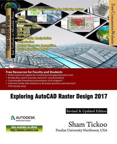
Exploring AutoCAD Raster Design 2017 is a comprehensive textbook that has been written to cater to the needs of the students and the professionals who are involved in GIS profession. AutoCAD Raster Design has interoperability with major design and data conversion software packages. This feature allows the Raster Design users to access CAD and GIS data from various sources to perform raster to vector conversion. In AutoCAD Raster Design, you can connect a raster dataset at the software platform and georeference it with ease. In this textbook, complex vectorization processes have been illustrated through easy-to-understand flow diagrams. Also, various processes such as manipulating and managing old CAD data and displaying spatial data have been covered in this textbook. The book also introduces users to the concepts of industry model database for managing spatial data. The simple and lucid language used in this textbook makes it a ready reference for both the beginners and the intermediate users.
$9.00 standard shipping within Australia
FREE standard shipping within Australia for orders over $100.00
Express & International shipping calculated at checkout
Exploring AutoCAD Raster Design 2017 is a comprehensive textbook that has been written to cater to the needs of the students and the professionals who are involved in GIS profession. AutoCAD Raster Design has interoperability with major design and data conversion software packages. This feature allows the Raster Design users to access CAD and GIS data from various sources to perform raster to vector conversion. In AutoCAD Raster Design, you can connect a raster dataset at the software platform and georeference it with ease. In this textbook, complex vectorization processes have been illustrated through easy-to-understand flow diagrams. Also, various processes such as manipulating and managing old CAD data and displaying spatial data have been covered in this textbook. The book also introduces users to the concepts of industry model database for managing spatial data. The simple and lucid language used in this textbook makes it a ready reference for both the beginners and the intermediate users.
Search our extensive online catalogue.
