Readings Newsletter
Become a Readings Member to make your shopping experience even easier.
Sign in or sign up for free!
You’re not far away from qualifying for FREE standard shipping within Australia
You’ve qualified for FREE standard shipping within Australia
The cart is loading…


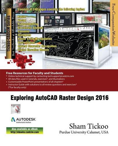
Exploring AutoCAD Raster Design 2016 is a comprehensive textbook that has been written to cater to the needs of the students and the professionals involved in GIS profession. The chapters in this textbook are structured in a pedagogical sequence that makes the learning process very simple and effective for both the novice as well as the advanced users of AutoCAD Raster Design. In this textbook, complex vectorization processes have been described through simple explanation and illustrated through easy-to-understand flow diagrams. Also, various processes such as manipulating and managing old CAD data, and displaying spatial data have been covered in this textbook. The textbook also introduces users to the concepts of industry model database for managing spatial data. The coverage of all important tools, simple and lucid language, pedagogically arranged chapters, step-by-step explanation of the usage of tools, questions and exercises for assessment make this textbook a ready reference for both the beginners and the intermediate users.
$9.00 standard shipping within Australia
FREE standard shipping within Australia for orders over $100.00
Express & International shipping calculated at checkout
Exploring AutoCAD Raster Design 2016 is a comprehensive textbook that has been written to cater to the needs of the students and the professionals involved in GIS profession. The chapters in this textbook are structured in a pedagogical sequence that makes the learning process very simple and effective for both the novice as well as the advanced users of AutoCAD Raster Design. In this textbook, complex vectorization processes have been described through simple explanation and illustrated through easy-to-understand flow diagrams. Also, various processes such as manipulating and managing old CAD data, and displaying spatial data have been covered in this textbook. The textbook also introduces users to the concepts of industry model database for managing spatial data. The coverage of all important tools, simple and lucid language, pedagogically arranged chapters, step-by-step explanation of the usage of tools, questions and exercises for assessment make this textbook a ready reference for both the beginners and the intermediate users.
Search our extensive online catalogue.
