Readings Newsletter
Become a Readings Member to make your shopping experience even easier.
Sign in or sign up for free!
You’re not far away from qualifying for FREE standard shipping within Australia
You’ve qualified for FREE standard shipping within Australia
The cart is loading…


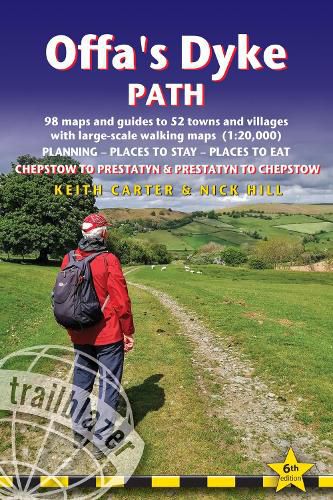
All the information you need to walk Offa's Dyke Path in this two-way edition, with routes re-walked in both directions - from Chepstow to Prestatyn and from Prestatyn to Chepstow and reformatted for use by walkers hiking south to north and north to south.
The Offa's Dyke Path is a magnificent National Trail that runs from the North Wales coast to the Severn Estuary following the line of Offa's Dyke, an impressive 8th century earthwork along the English/Welsh border. The ever-changing landscape - the Wye Valley, the Black Mountains, the Shropshire Hills and the Clwydian Hills - is steeped in history and legend providing 177 miles of fascinating walking.
This sixth edition has been re-walked and fully updated and includes:
98 walking maps - 1:20,000 (3 and 1/8 inches to 1 mile) - the largest-scale maps available Unique mapping features - walking times, directions, tricky junctions, places to stay, places to eat, points of interest Itineraries for all walkers - whether walking the route in its entirety or sampling the highlights on day walks and short breaks Practical information for all budgets - what to see, where to stay, where to eat: pubs, B&Bs, hotels, campsites, hostels, with reviews Guides to 52 towns and villages - along the way Public transport information - for all access points on the path GPS waypoints - also downloadable from the Trailblazer website Includes extra colour sections: 16pp colour introduction and 16pp of colour mapping for stage sections (one stage per page) with trail profiles
$9.00 standard shipping within Australia
FREE standard shipping within Australia for orders over $100.00
Express & International shipping calculated at checkout
All the information you need to walk Offa's Dyke Path in this two-way edition, with routes re-walked in both directions - from Chepstow to Prestatyn and from Prestatyn to Chepstow and reformatted for use by walkers hiking south to north and north to south.
The Offa's Dyke Path is a magnificent National Trail that runs from the North Wales coast to the Severn Estuary following the line of Offa's Dyke, an impressive 8th century earthwork along the English/Welsh border. The ever-changing landscape - the Wye Valley, the Black Mountains, the Shropshire Hills and the Clwydian Hills - is steeped in history and legend providing 177 miles of fascinating walking.
This sixth edition has been re-walked and fully updated and includes:
98 walking maps - 1:20,000 (3 and 1/8 inches to 1 mile) - the largest-scale maps available Unique mapping features - walking times, directions, tricky junctions, places to stay, places to eat, points of interest Itineraries for all walkers - whether walking the route in its entirety or sampling the highlights on day walks and short breaks Practical information for all budgets - what to see, where to stay, where to eat: pubs, B&Bs, hotels, campsites, hostels, with reviews Guides to 52 towns and villages - along the way Public transport information - for all access points on the path GPS waypoints - also downloadable from the Trailblazer website Includes extra colour sections: 16pp colour introduction and 16pp of colour mapping for stage sections (one stage per page) with trail profiles
Search our extensive online catalogue.
