Readings Newsletter
Become a Readings Member to make your shopping experience even easier.
Sign in or sign up for free!
You’re not far away from qualifying for FREE standard shipping within Australia
You’ve qualified for FREE standard shipping within Australia
The cart is loading…


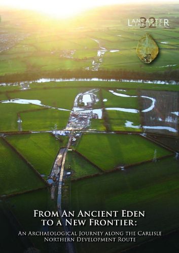
The Carlisle Northern Development Route (CNDR) is a major road around the western side of Carlisle. Prior to its construction, there was an extensive programme of archaeological excavation, carried out along its route by Oxford Archaeology, between May 2008 and April 2011. The excavations recorded archaeological and palaeoenvironmental remains at several sites (termed 'parcels') along this route, including highly significant remains dating to the Mesolithic and Neolithic periods at Stainton West (Parcel 27 North), a site situated on the floodplain north of the River Eden. These related to a Mesolithic seasonal, aggregation encampment, dating between c. 6000 cal BC and c. 4300 cal BC. This was on an island between two palaeochannels and was associated with domestic features and an in-situ flaked-lithic assemblage of over 300,000 pieces, dominated by a narrow-blade lithic technology. Waterlogged deposits of organic sediment and the remains of a beaver lodge and dam in the main palaeochannel defining the western edge of the island, also contained a wealth of palaeoenvironmental evidence relevant to the earlier part of the period in which the encampment was occupied. Neolithic activity began in c. 3800-3700 cal BC comprising the construction of a wooden platform in the main palaeochannel, which was associated with the intentional deposition of tree-felling debris, coarse-stone tools, flaked lithics, pottery, and wooden artefacts, including a paddle and two 'tridents'. Palaeoenvironmental remains relating to this activity were also recovered, providing evidence for an elm decline, and herding and small-scale arable farming. Later Neolithic activity was also evident in the form of two burnt mounds, established during the first half of the third millennium cal BC. The investigations also revealed evidence for Chalcolithic and Bronze Age activity, which included a sequence of burnt mounds at Stainton West, used until approximately 1600 cal BC. Several other sites along the scheme provided evidence for settlement and agriculture, dating between the twenty-third and the ninth centuries cal BC, which included structures, roundhouses, boundary ditches, ceramics, and plant remains. During the construction works, a transect across the Hadrian's Wall Roman frontier was also examined at Knockupworth. This identified the initial, Hadrianic, phase of Turf Wall, the subsequent slighting of both this and the Vallum earthworks to the south, and the Stone Wall constructed, around AD 158-60, when the Hadrianic frontier was reoccupied following abandonment of the Antonine Wall. Important evidence for early medieval activity was also revealed. Five apparently near-contemporary rectangular posthole buildings dated to the early eighth to mid-tenth centuries AD, and probably formed a small agricultural settlement. Other remains along the route related to the agricultural landscape that existed in the later medieval and post-medieval periods.
$9.00 standard shipping within Australia
FREE standard shipping within Australia for orders over $100.00
Express & International shipping calculated at checkout
The Carlisle Northern Development Route (CNDR) is a major road around the western side of Carlisle. Prior to its construction, there was an extensive programme of archaeological excavation, carried out along its route by Oxford Archaeology, between May 2008 and April 2011. The excavations recorded archaeological and palaeoenvironmental remains at several sites (termed 'parcels') along this route, including highly significant remains dating to the Mesolithic and Neolithic periods at Stainton West (Parcel 27 North), a site situated on the floodplain north of the River Eden. These related to a Mesolithic seasonal, aggregation encampment, dating between c. 6000 cal BC and c. 4300 cal BC. This was on an island between two palaeochannels and was associated with domestic features and an in-situ flaked-lithic assemblage of over 300,000 pieces, dominated by a narrow-blade lithic technology. Waterlogged deposits of organic sediment and the remains of a beaver lodge and dam in the main palaeochannel defining the western edge of the island, also contained a wealth of palaeoenvironmental evidence relevant to the earlier part of the period in which the encampment was occupied. Neolithic activity began in c. 3800-3700 cal BC comprising the construction of a wooden platform in the main palaeochannel, which was associated with the intentional deposition of tree-felling debris, coarse-stone tools, flaked lithics, pottery, and wooden artefacts, including a paddle and two 'tridents'. Palaeoenvironmental remains relating to this activity were also recovered, providing evidence for an elm decline, and herding and small-scale arable farming. Later Neolithic activity was also evident in the form of two burnt mounds, established during the first half of the third millennium cal BC. The investigations also revealed evidence for Chalcolithic and Bronze Age activity, which included a sequence of burnt mounds at Stainton West, used until approximately 1600 cal BC. Several other sites along the scheme provided evidence for settlement and agriculture, dating between the twenty-third and the ninth centuries cal BC, which included structures, roundhouses, boundary ditches, ceramics, and plant remains. During the construction works, a transect across the Hadrian's Wall Roman frontier was also examined at Knockupworth. This identified the initial, Hadrianic, phase of Turf Wall, the subsequent slighting of both this and the Vallum earthworks to the south, and the Stone Wall constructed, around AD 158-60, when the Hadrianic frontier was reoccupied following abandonment of the Antonine Wall. Important evidence for early medieval activity was also revealed. Five apparently near-contemporary rectangular posthole buildings dated to the early eighth to mid-tenth centuries AD, and probably formed a small agricultural settlement. Other remains along the route related to the agricultural landscape that existed in the later medieval and post-medieval periods.