Readings Newsletter
Become a Readings Member to make your shopping experience even easier.
Sign in or sign up for free!
You’re not far away from qualifying for FREE standard shipping within Australia
You’ve qualified for FREE standard shipping within Australia
The cart is loading…


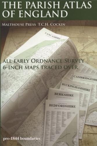
An atlas old English PARISHES for the general user, local historians and genealogists. Using desktop publishing and high capacity memory personal computers the 19th Century Ordnance Survey 6-Inch County series maps have been traced over at 16.8mm (0.6619 inch) to 1 mile with readable text, combined with information from tithe maps and other sources. This is seven-year, solo, labour of love project by T.C.H. Cockin contains all 39 counties of England, with consideration to the possibility panels can make wall charts or fold-outs for separate publication.
$9.00 standard shipping within Australia
FREE standard shipping within Australia for orders over $100.00
Express & International shipping calculated at checkout
An atlas old English PARISHES for the general user, local historians and genealogists. Using desktop publishing and high capacity memory personal computers the 19th Century Ordnance Survey 6-Inch County series maps have been traced over at 16.8mm (0.6619 inch) to 1 mile with readable text, combined with information from tithe maps and other sources. This is seven-year, solo, labour of love project by T.C.H. Cockin contains all 39 counties of England, with consideration to the possibility panels can make wall charts or fold-outs for separate publication.
Search our extensive online catalogue.
