Readings Newsletter
Become a Readings Member to make your shopping experience even easier.
Sign in or sign up for free!
You’re not far away from qualifying for FREE standard shipping within Australia
You’ve qualified for FREE standard shipping within Australia
The cart is loading…


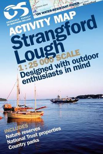
Ordnance Survey of Northern Ireland (OSNI) has replaced its One-Inch maps with a completely new series at 1:50,000 scale, approximately 1.25 inches to one mile. The series is numbered on an all-Ireland basis and OSNI is responsible for the design and publication of the sheets that cover Northern Ireland and adjoining parts of the Republic of Ireland. The layout incorporates a number of overlaps. The map is derived from the latest large scale material, supplemented by aerial photographs and ground surveys. It is the country’s most detailed small-scale map and as well as showing all the features that were on the One-Inch map, the slightly larger scale allows for the inclusion of additional features and names and gives an increase in clarity which is more evident in built-up areas. In high moorland areas where detail is scarce, prominent fences and walls are shown. The series is fully metricated and all sheets are published in two forms, fully-coloured and outline, both of which carry the Irish Grid at 10 km intervals. The coloured edition shows relief by contours at 10 metre vertical intervals with layered tints. Height information is expressed in metres above Mean Sea Level at Malin Head, County Donegal.
$9.00 standard shipping within Australia
FREE standard shipping within Australia for orders over $100.00
Express & International shipping calculated at checkout
Ordnance Survey of Northern Ireland (OSNI) has replaced its One-Inch maps with a completely new series at 1:50,000 scale, approximately 1.25 inches to one mile. The series is numbered on an all-Ireland basis and OSNI is responsible for the design and publication of the sheets that cover Northern Ireland and adjoining parts of the Republic of Ireland. The layout incorporates a number of overlaps. The map is derived from the latest large scale material, supplemented by aerial photographs and ground surveys. It is the country’s most detailed small-scale map and as well as showing all the features that were on the One-Inch map, the slightly larger scale allows for the inclusion of additional features and names and gives an increase in clarity which is more evident in built-up areas. In high moorland areas where detail is scarce, prominent fences and walls are shown. The series is fully metricated and all sheets are published in two forms, fully-coloured and outline, both of which carry the Irish Grid at 10 km intervals. The coloured edition shows relief by contours at 10 metre vertical intervals with layered tints. Height information is expressed in metres above Mean Sea Level at Malin Head, County Donegal.
Search our extensive online catalogue.
