Readings Newsletter
Become a Readings Member to make your shopping experience even easier.
Sign in or sign up for free!
You’re not far away from qualifying for FREE standard shipping within Australia
You’ve qualified for FREE standard shipping within Australia
The cart is loading…


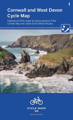
First in a new series of cycle maps covering the whole country. The first map covers from Lands End in Cornwall to Plymouth.
The maps are all produced at a scale of 1:100 000 showing important features including the National cycle Network. Sections on road, off road and traffic free are all shown in differing colours along with their route number. Other roads and their classification are shown enabling you to link rides or explore sections and discover new routes at home or further afield.
Facilities such as toilets, pubs, accommodation, bike shops, repair stations and railway stations are all shown. The mapping also has relief shading giving you a clear picture of the terrain (and steepness of any hills) you will encounter.
Scale: 100 000 (10mm = 1 Km, 16mm = 1 Mile)
Folded size: 163mm x 105mm
Unfolded: 650mm x 800mm
Tear and water-resistant paper
Double sided
$9.00 standard shipping within Australia
FREE standard shipping within Australia for orders over $100.00
Express & International shipping calculated at checkout
First in a new series of cycle maps covering the whole country. The first map covers from Lands End in Cornwall to Plymouth.
The maps are all produced at a scale of 1:100 000 showing important features including the National cycle Network. Sections on road, off road and traffic free are all shown in differing colours along with their route number. Other roads and their classification are shown enabling you to link rides or explore sections and discover new routes at home or further afield.
Facilities such as toilets, pubs, accommodation, bike shops, repair stations and railway stations are all shown. The mapping also has relief shading giving you a clear picture of the terrain (and steepness of any hills) you will encounter.
Scale: 100 000 (10mm = 1 Km, 16mm = 1 Mile)
Folded size: 163mm x 105mm
Unfolded: 650mm x 800mm
Tear and water-resistant paper
Double sided
Search our extensive online catalogue.
