Readings Newsletter
Become a Readings Member to make your shopping experience even easier.
Sign in or sign up for free!
You’re not far away from qualifying for FREE standard shipping within Australia
You’ve qualified for FREE standard shipping within Australia
The cart is loading…


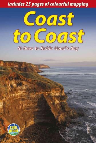
England’s most popular walk runs for 184 miles (296 km) across the north of England from St Bees on the Irish Sea to Robin Hood’s Bay on the North Sea. It passes through three National Parks - the Lake District, Yorkshire Dales and North York Moors - with fine scenery, welcoming pubs and plenty of accommodation. Devised by the legendary Wainwright, the Coast to Coast attracts walkers worldwide.
The new edition is richly illustrated with 150 photographs, many by professional landscape photographer Karen Frenkel. There are 25 pages of colourful new mapping (scale 1:55,000) with cumulative distances, a 25-metre contour interval and points of interest marked. Each section has its own altitude profile, with details of where refreshments are available. Much detail has been added to route descriptions, in many places clarified by extra photographs with custom overlays to clarify route detail. Major route options have been added and mapped, and many updates made. The format is lightweight, robust and rainproof.
$9.00 standard shipping within Australia
FREE standard shipping within Australia for orders over $100.00
Express & International shipping calculated at checkout
England’s most popular walk runs for 184 miles (296 km) across the north of England from St Bees on the Irish Sea to Robin Hood’s Bay on the North Sea. It passes through three National Parks - the Lake District, Yorkshire Dales and North York Moors - with fine scenery, welcoming pubs and plenty of accommodation. Devised by the legendary Wainwright, the Coast to Coast attracts walkers worldwide.
The new edition is richly illustrated with 150 photographs, many by professional landscape photographer Karen Frenkel. There are 25 pages of colourful new mapping (scale 1:55,000) with cumulative distances, a 25-metre contour interval and points of interest marked. Each section has its own altitude profile, with details of where refreshments are available. Much detail has been added to route descriptions, in many places clarified by extra photographs with custom overlays to clarify route detail. Major route options have been added and mapped, and many updates made. The format is lightweight, robust and rainproof.
Search our extensive online catalogue.
