Readings Newsletter
Become a Readings Member to make your shopping experience even easier.
Sign in or sign up for free!
You’re not far away from qualifying for FREE standard shipping within Australia
You’ve qualified for FREE standard shipping within Australia
The cart is loading…


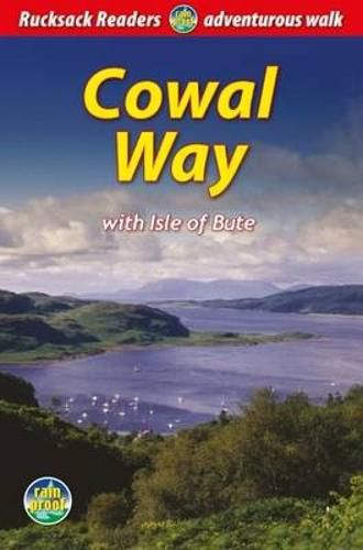
The Cowal Way is a waymarked trail running for 57 miles (92 km) across the rugged Cowal peninsula, an unspoiled area of the Highlands just west of Glasgow. It is best walked from Portavadie on Loch Fyne to finish at Inveruglas on Loch Lomond. The Way has some rugged scenery, the walk is easily broken into manageable sections, and it offers glorious views over Loch Fyne, the Isle of Bute and the Firth of Clyde. The Cowal Way links with both the Kintyre Way (by ferry from Portavadie) and the West Highland Way (by water bus from Inveruglas), creating scope for Scotland’s ultimate long-distance walk. This is a fully revised version of the first edition, with new large-scale Footprint mapping and updated text and photos. It contains everything you need to plan and enjoy a holiday: * details of each section, showing distance, terrain and food/drink stops * background on Cowal’s history and heritage, habitats and wildlife * planning information for transport and accommodation * feature on the historic Isle of Bute * lavishly illustrated, with over 80 colour photographs * 8 pages of detailed route mapping at 1:50,000 * rucksack-friendly format, printed on rainproof paper.
$9.00 standard shipping within Australia
FREE standard shipping within Australia for orders over $100.00
Express & International shipping calculated at checkout
The Cowal Way is a waymarked trail running for 57 miles (92 km) across the rugged Cowal peninsula, an unspoiled area of the Highlands just west of Glasgow. It is best walked from Portavadie on Loch Fyne to finish at Inveruglas on Loch Lomond. The Way has some rugged scenery, the walk is easily broken into manageable sections, and it offers glorious views over Loch Fyne, the Isle of Bute and the Firth of Clyde. The Cowal Way links with both the Kintyre Way (by ferry from Portavadie) and the West Highland Way (by water bus from Inveruglas), creating scope for Scotland’s ultimate long-distance walk. This is a fully revised version of the first edition, with new large-scale Footprint mapping and updated text and photos. It contains everything you need to plan and enjoy a holiday: * details of each section, showing distance, terrain and food/drink stops * background on Cowal’s history and heritage, habitats and wildlife * planning information for transport and accommodation * feature on the historic Isle of Bute * lavishly illustrated, with over 80 colour photographs * 8 pages of detailed route mapping at 1:50,000 * rucksack-friendly format, printed on rainproof paper.
Search our extensive online catalogue.
