Readings Newsletter
Become a Readings Member to make your shopping experience even easier.
Sign in or sign up for free!
You’re not far away from qualifying for FREE standard shipping within Australia
You’ve qualified for FREE standard shipping within Australia
The cart is loading…


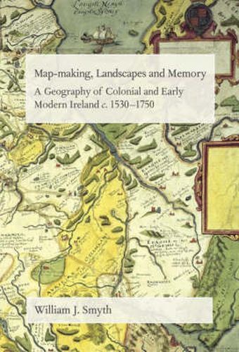
This is the first engagement by a geographer in one book of this most formative and revolutionary period (c. 1550 - c. 1750) in Ireland’s history. Using the twin concepts of ‘colonialism’ and ‘early modernity’, the book comprises a geographical analysis of the conquest and settlement of Ireland by the New English (and Scottish) and the consequences of this often violent and deep-seated intrusion upon the cultures and landscapes of pre-existing Irish societies. The book effectively isolates the emerging methodologies of the early modern British state in this process of colonial subjugation: the systematic use of surveillance techniques; the implementation of regional and island-wide mapping and inventories of strategic landscapes and resources; the development of bureaucracies and the administrative techniques of law and the market economy so as to obliterate regional expression of ‘other’ Gaelic or Gaelicised cultures and practices. Consequently, a wide range of documentary evidence, from the Elizabethan fiants, 16th and 17th century mss. maps, the ‘1641 Depositions’, the Cromwellian Civil and Down Surveys, Petty’s ‘1659 Census’ to the ‘State of Popery’ materials of 1730s are available for mapping. The book contains over 100 original colour and black and white maps, which point up the nuanced and regionally varied character of the engagement between local peoples and incomers. The use of so many maps thus highlights many hidden Irelands, often obscured in a strictly historical/narrative format. Uniquely, the book uses Irish language (as well as English) sources to illuminate Irish ways of understanding and using territories and resources, understandings and practices which were often undermined and eroded under New English rule. Overall, the book represents a novel rendition of Ireland’s experiences in this crucial early modern period from the particular perspective of a historical geographer.
$9.00 standard shipping within Australia
FREE standard shipping within Australia for orders over $100.00
Express & International shipping calculated at checkout
This is the first engagement by a geographer in one book of this most formative and revolutionary period (c. 1550 - c. 1750) in Ireland’s history. Using the twin concepts of ‘colonialism’ and ‘early modernity’, the book comprises a geographical analysis of the conquest and settlement of Ireland by the New English (and Scottish) and the consequences of this often violent and deep-seated intrusion upon the cultures and landscapes of pre-existing Irish societies. The book effectively isolates the emerging methodologies of the early modern British state in this process of colonial subjugation: the systematic use of surveillance techniques; the implementation of regional and island-wide mapping and inventories of strategic landscapes and resources; the development of bureaucracies and the administrative techniques of law and the market economy so as to obliterate regional expression of ‘other’ Gaelic or Gaelicised cultures and practices. Consequently, a wide range of documentary evidence, from the Elizabethan fiants, 16th and 17th century mss. maps, the ‘1641 Depositions’, the Cromwellian Civil and Down Surveys, Petty’s ‘1659 Census’ to the ‘State of Popery’ materials of 1730s are available for mapping. The book contains over 100 original colour and black and white maps, which point up the nuanced and regionally varied character of the engagement between local peoples and incomers. The use of so many maps thus highlights many hidden Irelands, often obscured in a strictly historical/narrative format. Uniquely, the book uses Irish language (as well as English) sources to illuminate Irish ways of understanding and using territories and resources, understandings and practices which were often undermined and eroded under New English rule. Overall, the book represents a novel rendition of Ireland’s experiences in this crucial early modern period from the particular perspective of a historical geographer.
Search our extensive online catalogue.
