Readings Newsletter
Become a Readings Member to make your shopping experience even easier.
Sign in or sign up for free!
You’re not far away from qualifying for FREE standard shipping within Australia
You’ve qualified for FREE standard shipping within Australia
The cart is loading…


This book is a treasure-trove of cartographical delights spanning over a thousand years. Each map is accompanied by a narrative revealing the story behind how it came to be made and the significance of what it shows. The chronological arrangement highlights how cartography has evolved over the centuries.
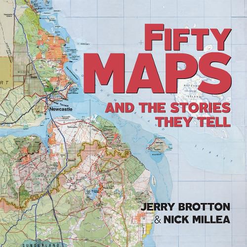
From medieval maps to digital cartograms, this book features highlights from the Bodleian Library’s extraordinary map collection together with rare artefacts and some stunning examples from twenty-first-century map-makers. Each map is accompanied by a narrative revealing the story behind how it came to be made and the significance of what it shows. The chronological arrangement highlights how cartography has evolved over the centuries and how it reflects political and social change. Showcasing a twelfth-century Arabic map of the Mediterranean, highly decorated portolan charts, military maps, trade maps, a Siberian sealskin map, maps of heaven and hell, C.S. Lewis’s map of Narnia, J.R.R. Tolkien’s cosmology of Middle-earth and Grayson Perry’s tapestry map, this book is a treasure-trove of cartographical delights spanning over a thousand years.
$9.00 standard shipping within Australia
FREE standard shipping within Australia for orders over $100.00
Express & International shipping calculated at checkout
This book is a treasure-trove of cartographical delights spanning over a thousand years. Each map is accompanied by a narrative revealing the story behind how it came to be made and the significance of what it shows. The chronological arrangement highlights how cartography has evolved over the centuries.
From medieval maps to digital cartograms, this book features highlights from the Bodleian Library’s extraordinary map collection together with rare artefacts and some stunning examples from twenty-first-century map-makers. Each map is accompanied by a narrative revealing the story behind how it came to be made and the significance of what it shows. The chronological arrangement highlights how cartography has evolved over the centuries and how it reflects political and social change. Showcasing a twelfth-century Arabic map of the Mediterranean, highly decorated portolan charts, military maps, trade maps, a Siberian sealskin map, maps of heaven and hell, C.S. Lewis’s map of Narnia, J.R.R. Tolkien’s cosmology of Middle-earth and Grayson Perry’s tapestry map, this book is a treasure-trove of cartographical delights spanning over a thousand years.
Search our extensive online catalogue.
