Readings Newsletter
Become a Readings Member to make your shopping experience even easier.
Sign in or sign up for free!
You’re not far away from qualifying for FREE standard shipping within Australia
You’ve qualified for FREE standard shipping within Australia
The cart is loading…


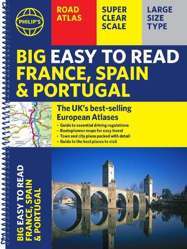
The Philip's Big Easy to Read France, Spain and Portugal Road Atlas, in a large spiral bound lie-flat edition, is the must-have travelling atlas for anyone who needs the big picture for touring these countries and the adjacent countries including Belgium and Luxembourg.
Scenic routes are highlighted on the road maps, with theme parks and World Heritage Sites also clearly shown. The maps highlight towns with low-emission zones and show motorway rest/parking areas, not forgetting handy listings of top sites to visit and useful ski resort information.
From the market leaders in European Road Mapping, in addition to the main maps at 1:750,000, the road network is shown at three supplementary scales from 1:250,000 to 1:3M, with ultra-clear detailed maps for urban areas, so that you can navigate in this part of Europe with ease and the toll, toll-free and pre-pay motorways all clearly marked.
Philip's Big Easy to Read France and Spain Road Atlas includes:
$9.00 standard shipping within Australia
FREE standard shipping within Australia for orders over $100.00
Express & International shipping calculated at checkout
The Philip's Big Easy to Read France, Spain and Portugal Road Atlas, in a large spiral bound lie-flat edition, is the must-have travelling atlas for anyone who needs the big picture for touring these countries and the adjacent countries including Belgium and Luxembourg.
Scenic routes are highlighted on the road maps, with theme parks and World Heritage Sites also clearly shown. The maps highlight towns with low-emission zones and show motorway rest/parking areas, not forgetting handy listings of top sites to visit and useful ski resort information.
From the market leaders in European Road Mapping, in addition to the main maps at 1:750,000, the road network is shown at three supplementary scales from 1:250,000 to 1:3M, with ultra-clear detailed maps for urban areas, so that you can navigate in this part of Europe with ease and the toll, toll-free and pre-pay motorways all clearly marked.
Philip's Big Easy to Read France and Spain Road Atlas includes:
Search our extensive online catalogue.
