Readings Newsletter
Become a Readings Member to make your shopping experience even easier.
Sign in or sign up for free!
You’re not far away from qualifying for FREE standard shipping within Australia
You’ve qualified for FREE standard shipping within Australia
The cart is loading…


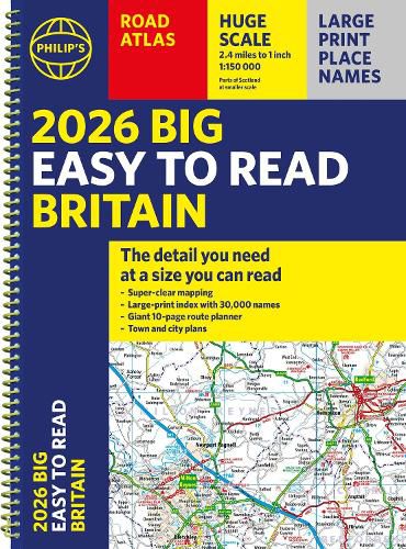
"The detail you need at a size you can read". The latest 2026 Philip's Easy to Read Road Atlas of Britain from the best-selling Road Atlas range has exceptionally clear mapping and everything you need for exploring Britain. With a special lie-flat spiral binding, it will enhance any trip.
Large maps packed with extra details for a better journey
Huge 1:150,000 scale (approx 2.4 miles to 1 inch)
Large print place names
Large print index
88 detailed town plans for easy navigation
Expanded London ULEZ clearly shown on approach mapping
Super-clear 10-page route planner to create the best journeys
Thousands of attractions clearly mapped, including castles, theme parks, gardens, zoos and more
Over 100,000 copies of the Philip's Easy Read Road Atlases of Britain sold since launch in 2020.
At last, a road atlas that everyone can read easily, in or out of the car, no matter what the conditions. With up-to-date mapping technology, your travels have never been easier to plan. This edition contains a wealth of useful information including tourist attractions to ensure the best possible journey. Whether it's getting dark, or if you just can't find your glasses, 2026 Philip's Easy to Read Road Atlas of Britain is the ultimate road companion.
$9.00 standard shipping within Australia
FREE standard shipping within Australia for orders over $100.00
Express & International shipping calculated at checkout
"The detail you need at a size you can read". The latest 2026 Philip's Easy to Read Road Atlas of Britain from the best-selling Road Atlas range has exceptionally clear mapping and everything you need for exploring Britain. With a special lie-flat spiral binding, it will enhance any trip.
Large maps packed with extra details for a better journey
Huge 1:150,000 scale (approx 2.4 miles to 1 inch)
Large print place names
Large print index
88 detailed town plans for easy navigation
Expanded London ULEZ clearly shown on approach mapping
Super-clear 10-page route planner to create the best journeys
Thousands of attractions clearly mapped, including castles, theme parks, gardens, zoos and more
Over 100,000 copies of the Philip's Easy Read Road Atlases of Britain sold since launch in 2020.
At last, a road atlas that everyone can read easily, in or out of the car, no matter what the conditions. With up-to-date mapping technology, your travels have never been easier to plan. This edition contains a wealth of useful information including tourist attractions to ensure the best possible journey. Whether it's getting dark, or if you just can't find your glasses, 2026 Philip's Easy to Read Road Atlas of Britain is the ultimate road companion.
Search our extensive online catalogue.
