Readings Newsletter
Become a Readings Member to make your shopping experience even easier.
Sign in or sign up for free!
You’re not far away from qualifying for FREE standard shipping within Australia
You’ve qualified for FREE standard shipping within Australia
The cart is loading…


'Good balance between detail and clarity with excellent town maps' What Car?
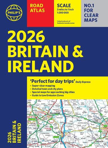
'Perfect for day trips' The Daily Express
PHILIP'S - Market leader and No. 1 in the UK for clear maps 2026 Philip's Road Atlas of Britain and Ireland is a top-of-the-range, A4-sized, paperback atlas featuring fully updated maps from the Philip's digital database. Voted Britain's clearest and most detailed in an independent consumer survey, the mapping is super-clear.
88 fully indexed and detailed town-centre maps with Low Emission Zones and Ultra Low Emission Zones
Top tips for better and safer driving including how to parallel park
160 pages of fully updated super-clear road maps
10 pages of detailed route-planning maps, to help plan your route in advance
Mapping at a scale of 3 miles to 1 inch = 1:200,000 for clarity and ease of use
Major city approach maps with named arterial roads
Clear road mapping showing all of Ireland
The maps clearly mark service areas, roundabouts and multi-level junctions, and in rural areas distinguish between roads over and under 4 metres wide. It also includes a 2-page road map of Ireland, 10 pages of route-planning maps, a distance table, 10 large-scale city approach maps with named arterial roads, the latest ULEZ details, and 88 extra-detailed and fully indexed town and city plans.
Wherever you are driving in Britain and Ireland, this is the ultimate road trip companion.
$9.00 standard shipping within Australia
FREE standard shipping within Australia for orders over $100.00
Express & International shipping calculated at checkout
'Good balance between detail and clarity with excellent town maps' What Car?
'Perfect for day trips' The Daily Express
PHILIP'S - Market leader and No. 1 in the UK for clear maps 2026 Philip's Road Atlas of Britain and Ireland is a top-of-the-range, A4-sized, paperback atlas featuring fully updated maps from the Philip's digital database. Voted Britain's clearest and most detailed in an independent consumer survey, the mapping is super-clear.
88 fully indexed and detailed town-centre maps with Low Emission Zones and Ultra Low Emission Zones
Top tips for better and safer driving including how to parallel park
160 pages of fully updated super-clear road maps
10 pages of detailed route-planning maps, to help plan your route in advance
Mapping at a scale of 3 miles to 1 inch = 1:200,000 for clarity and ease of use
Major city approach maps with named arterial roads
Clear road mapping showing all of Ireland
The maps clearly mark service areas, roundabouts and multi-level junctions, and in rural areas distinguish between roads over and under 4 metres wide. It also includes a 2-page road map of Ireland, 10 pages of route-planning maps, a distance table, 10 large-scale city approach maps with named arterial roads, the latest ULEZ details, and 88 extra-detailed and fully indexed town and city plans.
Wherever you are driving in Britain and Ireland, this is the ultimate road trip companion.
Search our extensive online catalogue.
