Readings Newsletter
Become a Readings Member to make your shopping experience even easier.
Sign in or sign up for free!
You’re not far away from qualifying for FREE standard shipping within Australia
You’ve qualified for FREE standard shipping within Australia
The cart is loading…


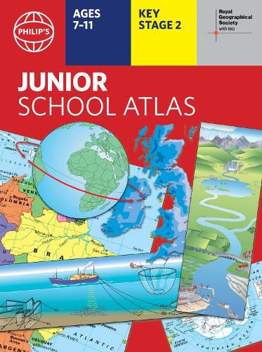
The 12th edition of the market-leading atlas for primary school pupils, Philip's RGS Junior School Atlas has been fully revised and updated with all the latest facts and curriculum requirements.
The essential atlas for primary schools with clear and easy-to-follow maps and diagrams - updated for 2024/2025
Published in association with the Royal Geographical Society
Recommended for Key Stage 2 of the National Curriculum - and all 7-11 year olds
An excellent introduction to mapping concepts such as scale, direction, symbols, longitude and latitude
22-page Britain and Ireland section with clear thematic charts, diagrams and large-scale regional maps
22-page section on The World, with political maps - and thematic treatment of key themes, from volcanoes and earthquakes to transport and tourism
Continents section with physical and political maps
Easy-to-follow map references and 1,000-place index
The introductory section describes the meaning of scale, how to measure distances using the maps, and explains the symbols on the maps.
The following section is devoted to the United Kingdom and Ireland. Thematic maps cover topics such as mountains and rivers, climate and weather, population and cities, farming and fishing, industry and energy, transport, tourism and conservation.
The rest of the atlas is made up of world thematic maps and world continental maps. Included are topics such as the world's climate, vegetation, agriculture, energy sources, and environmental concerns, such as global warming. A simple letter-figure index completes the atlas. Available in both Hardback and Paperback editions.
$9.00 standard shipping within Australia
FREE standard shipping within Australia for orders over $100.00
Express & International shipping calculated at checkout
The 12th edition of the market-leading atlas for primary school pupils, Philip's RGS Junior School Atlas has been fully revised and updated with all the latest facts and curriculum requirements.
The essential atlas for primary schools with clear and easy-to-follow maps and diagrams - updated for 2024/2025
Published in association with the Royal Geographical Society
Recommended for Key Stage 2 of the National Curriculum - and all 7-11 year olds
An excellent introduction to mapping concepts such as scale, direction, symbols, longitude and latitude
22-page Britain and Ireland section with clear thematic charts, diagrams and large-scale regional maps
22-page section on The World, with political maps - and thematic treatment of key themes, from volcanoes and earthquakes to transport and tourism
Continents section with physical and political maps
Easy-to-follow map references and 1,000-place index
The introductory section describes the meaning of scale, how to measure distances using the maps, and explains the symbols on the maps.
The following section is devoted to the United Kingdom and Ireland. Thematic maps cover topics such as mountains and rivers, climate and weather, population and cities, farming and fishing, industry and energy, transport, tourism and conservation.
The rest of the atlas is made up of world thematic maps and world continental maps. Included are topics such as the world's climate, vegetation, agriculture, energy sources, and environmental concerns, such as global warming. A simple letter-figure index completes the atlas. Available in both Hardback and Paperback editions.
Search our extensive online catalogue.
