Readings Newsletter
Become a Readings Member to make your shopping experience even easier.
Sign in or sign up for free!
You’re not far away from qualifying for FREE standard shipping within Australia
You’ve qualified for FREE standard shipping within Australia
The cart is loading…


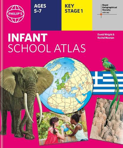
Written for 5 to 7 year-old this atlas is ideal for teaching Key Stage 1, helping to cover geography, history, science, citizenship and literacy requirements
Written by experts Professor David Wright and Rachel Noonan
Published in association with the Royal Geographical Society
50 pages of clear, child-friendly maps showing our world today
Countries of the world brought to life with flags, illustrations and photos
Bold text, simple words and short sentences to encourage reading skills
Starts with the Earth as a Planet then zooms into each of the world's regions with maps and illustrations
Numbered balloons on each map link to photos of a real place
Fully revised and updated, the atlas is for children aged 5-7 in the early stages of reading, with simple text to explain what is happening on the maps and illustrations - all compatible with National Curriculum Key Stage 1.
Clear, child-friendly maps are combined with vibrant photographs and facts about the world. Guidance is given at the beginning of the atlas on how to use the maps, encouraging the early development of map skills.
Each colourful spread is illustrated with photographs and packed with fact boxes, curiosities, flags, stamps and simple quiz questions. Philip's RGS Infant School Atlas is both fun to use and easy to understand. The text is simple and uncomplicated to encourage early reading skills.
$9.00 standard shipping within Australia
FREE standard shipping within Australia for orders over $100.00
Express & International shipping calculated at checkout
Written for 5 to 7 year-old this atlas is ideal for teaching Key Stage 1, helping to cover geography, history, science, citizenship and literacy requirements
Written by experts Professor David Wright and Rachel Noonan
Published in association with the Royal Geographical Society
50 pages of clear, child-friendly maps showing our world today
Countries of the world brought to life with flags, illustrations and photos
Bold text, simple words and short sentences to encourage reading skills
Starts with the Earth as a Planet then zooms into each of the world's regions with maps and illustrations
Numbered balloons on each map link to photos of a real place
Fully revised and updated, the atlas is for children aged 5-7 in the early stages of reading, with simple text to explain what is happening on the maps and illustrations - all compatible with National Curriculum Key Stage 1.
Clear, child-friendly maps are combined with vibrant photographs and facts about the world. Guidance is given at the beginning of the atlas on how to use the maps, encouraging the early development of map skills.
Each colourful spread is illustrated with photographs and packed with fact boxes, curiosities, flags, stamps and simple quiz questions. Philip's RGS Infant School Atlas is both fun to use and easy to understand. The text is simple and uncomplicated to encourage early reading skills.
Search our extensive online catalogue.
