Readings Newsletter
Become a Readings Member to make your shopping experience even easier.
Sign in or sign up for free!
You’re not far away from qualifying for FREE standard shipping within Australia
You’ve qualified for FREE standard shipping within Australia
The cart is loading…


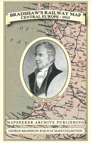
Especially for those who have obtained the recent facsimile copy of George Bradshaw’s Railway Tourist’s Guide Book of Europe 1913. This detailed Bradshaw’s railway map clearly shows the many railways that were travelled just prior to the outbreak of the First World War. Originally published in 1913 by Bradshaw and Blacklock, this is the map of Europe originally contained within that publication, that map has now been art worked and re-mastered. It is therefore an ideal companion to the guide where the number’s of each of the railways marked on the map can be referenced to the page they can be found in the guide book, and a must for those people to take with them who are planning to re-explore the railway journeys described. The paper stock used in this series of historic mapping is of a high quality developed especially for the printing of detailed mapping. The 90 gsm Progeo paper was specially developed as a map paper. It has high opacity to help reduce show through and a cross grain giving it greater durability as the map is being folded.
$9.00 standard shipping within Australia
FREE standard shipping within Australia for orders over $100.00
Express & International shipping calculated at checkout
Especially for those who have obtained the recent facsimile copy of George Bradshaw’s Railway Tourist’s Guide Book of Europe 1913. This detailed Bradshaw’s railway map clearly shows the many railways that were travelled just prior to the outbreak of the First World War. Originally published in 1913 by Bradshaw and Blacklock, this is the map of Europe originally contained within that publication, that map has now been art worked and re-mastered. It is therefore an ideal companion to the guide where the number’s of each of the railways marked on the map can be referenced to the page they can be found in the guide book, and a must for those people to take with them who are planning to re-explore the railway journeys described. The paper stock used in this series of historic mapping is of a high quality developed especially for the printing of detailed mapping. The 90 gsm Progeo paper was specially developed as a map paper. It has high opacity to help reduce show through and a cross grain giving it greater durability as the map is being folded.
Search our extensive online catalogue.
