Readings Newsletter
Become a Readings Member to make your shopping experience even easier.
Sign in or sign up for free!
You’re not far away from qualifying for FREE standard shipping within Australia
You’ve qualified for FREE standard shipping within Australia
The cart is loading…


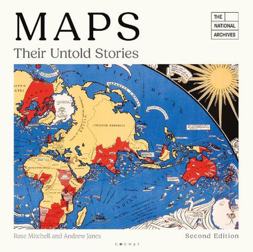
A new edition of this fascinating and unusual journey through the world of maps and mapmakers, drawing on 700 years' worth of maps from the National Archives.
A map is a snapshot of a place, a city, a nation or even the world at a given point in time - fascinating for what they tell us about the way our ancestors saw themselves, their neighbours and their place in the world. This magnificent collection, drawn from seven centuries of maps held in the National Archives at Kew, looks at a variety of maps, from those found in 14th-century manuscripts, through to early estate maps, to maps used in 20th-century military campaigns.
Great images are accompanied by compelling stories. Featured is a woodcut map of 16th Century London, a map of where the bombs fell during the Second World War, and a map the first American settlers drew when they were attempting to establish a new empire on Roanoke Island, off the coast of what is now North Carolina. This new edition has been revised throughout, with many new maps added, including newly discovered and digitised maps from North America. A whole new chapter, Mapping Buildings, has also been added.
$9.00 standard shipping within Australia
FREE standard shipping within Australia for orders over $100.00
Express & International shipping calculated at checkout
A new edition of this fascinating and unusual journey through the world of maps and mapmakers, drawing on 700 years' worth of maps from the National Archives.
A map is a snapshot of a place, a city, a nation or even the world at a given point in time - fascinating for what they tell us about the way our ancestors saw themselves, their neighbours and their place in the world. This magnificent collection, drawn from seven centuries of maps held in the National Archives at Kew, looks at a variety of maps, from those found in 14th-century manuscripts, through to early estate maps, to maps used in 20th-century military campaigns.
Great images are accompanied by compelling stories. Featured is a woodcut map of 16th Century London, a map of where the bombs fell during the Second World War, and a map the first American settlers drew when they were attempting to establish a new empire on Roanoke Island, off the coast of what is now North Carolina. This new edition has been revised throughout, with many new maps added, including newly discovered and digitised maps from North America. A whole new chapter, Mapping Buildings, has also been added.
Search our extensive online catalogue.
