Readings Newsletter
Become a Readings Member to make your shopping experience even easier.
Sign in or sign up for free!
You’re not far away from qualifying for FREE standard shipping within Australia
You’ve qualified for FREE standard shipping within Australia
The cart is loading…


The illustrations of the Benedictine monk, artist, and chronicler Matthew Paris offer a gateway into the thirteenth-century world. This new study of his cartography emphasises the striking innovations he brought to it, and shows how the maps became an investment and repository of certain medieval spatial practices: travel through the world, the occurrence of history in that world, and the religious practices and devotional attitudes that were assiduously cultivated within the larger visual culture of St. Albans abbey (in great measure produced by Matthew’s own images). Travel (i.e. space), history (time), and devotion (liturgy), then, are the primary issues and meanings deposited in and registered by Matthew Paris’s cartographic landscape. In searching out these contexts, the book explores the paradigm of imagined pilgrimage as an organizing principle that pushes into greater relief medieval understandingsof their arrangements of places and of histories. Thus traveling through geography could enact its meanings in a dynamic, religious, even devotional performance of the maps’ materials. Richly illustrated with black and white and colour plates.
$9.00 standard shipping within Australia
FREE standard shipping within Australia for orders over $100.00
Express & International shipping calculated at checkout
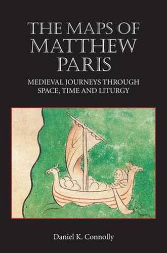
The illustrations of the Benedictine monk, artist, and chronicler Matthew Paris offer a gateway into the thirteenth-century world. This new study of his cartography emphasises the striking innovations he brought to it, and shows how the maps became an investment and repository of certain medieval spatial practices: travel through the world, the occurrence of history in that world, and the religious practices and devotional attitudes that were assiduously cultivated within the larger visual culture of St. Albans abbey (in great measure produced by Matthew’s own images). Travel (i.e. space), history (time), and devotion (liturgy), then, are the primary issues and meanings deposited in and registered by Matthew Paris’s cartographic landscape. In searching out these contexts, the book explores the paradigm of imagined pilgrimage as an organizing principle that pushes into greater relief medieval understandingsof their arrangements of places and of histories. Thus traveling through geography could enact its meanings in a dynamic, religious, even devotional performance of the maps’ materials. Richly illustrated with black and white and colour plates.