Readings Newsletter
Become a Readings Member to make your shopping experience even easier.
Sign in or sign up for free!
You’re not far away from qualifying for FREE standard shipping within Australia
You’ve qualified for FREE standard shipping within Australia
The cart is loading…


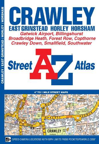
This A-Z map of Crawley is a full colour street atlas featuring 34 pages of street mapping to include: *East Grinstead *Forest Row *Horley *London Gatwick Airport *Horsham *Southwater *Billingshurst
Postcode districts, one-way streets, safety camera locations with their maximum speed limit and park and ride sites are featured on the mapping.
The index section lists streets, selected flats, walkways and places of interest, place, area and station names, hospitals and hospices covered by this atlas.
A road map of the atlas area is featured on the outside back cover.
$9.00 standard shipping within Australia
FREE standard shipping within Australia for orders over $100.00
Express & International shipping calculated at checkout
This A-Z map of Crawley is a full colour street atlas featuring 34 pages of street mapping to include: *East Grinstead *Forest Row *Horley *London Gatwick Airport *Horsham *Southwater *Billingshurst
Postcode districts, one-way streets, safety camera locations with their maximum speed limit and park and ride sites are featured on the mapping.
The index section lists streets, selected flats, walkways and places of interest, place, area and station names, hospitals and hospices covered by this atlas.
A road map of the atlas area is featured on the outside back cover.
Search our extensive online catalogue.
