Readings Newsletter
Become a Readings Member to make your shopping experience even easier.
Sign in or sign up for free!
You’re not far away from qualifying for FREE standard shipping within Australia
You’ve qualified for FREE standard shipping within Australia
The cart is loading…


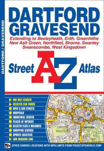
This street atlas of Dartford, Gravesend, Bexleyheath, Erith, Northfleet, Sidcup and Swanley features 30 pages of coloured mapping that extends to:
Thamesmead East, Crayford, Stone, Greenhithe, Swanscombe, Tilbury (part), Shorne, Singlewell, Meopham Station, New Ash Green, West Kingsdown (part), Farningham, Crockenhill, Hextable, Ruxley, Blackfen and Welling.
Postcode districts, one-way streets and safety camera locations with their maximum speed limit are featured on the mapping.
The index section lists streets, selected flats, walkways and places of interest, junction, place, area and station names, hospitals and hospices covered by this atlas.
$9.00 standard shipping within Australia
FREE standard shipping within Australia for orders over $100.00
Express & International shipping calculated at checkout
This street atlas of Dartford, Gravesend, Bexleyheath, Erith, Northfleet, Sidcup and Swanley features 30 pages of coloured mapping that extends to:
Thamesmead East, Crayford, Stone, Greenhithe, Swanscombe, Tilbury (part), Shorne, Singlewell, Meopham Station, New Ash Green, West Kingsdown (part), Farningham, Crockenhill, Hextable, Ruxley, Blackfen and Welling.
Postcode districts, one-way streets and safety camera locations with their maximum speed limit are featured on the mapping.
The index section lists streets, selected flats, walkways and places of interest, junction, place, area and station names, hospitals and hospices covered by this atlas.
Search our extensive online catalogue.
