Readings Newsletter
Become a Readings Member to make your shopping experience even easier.
Sign in or sign up for free!
You’re not far away from qualifying for FREE standard shipping within Australia
You’ve qualified for FREE standard shipping within Australia
The cart is loading…


This title is printed to order. This book may have been self-published. If so, we cannot guarantee the quality of the content. In the main most books will have gone through the editing process however some may not. We therefore suggest that you be aware of this before ordering this book. If in doubt check either the author or publisher’s details as we are unable to accept any returns unless they are faulty. Please contact us if you have any questions.
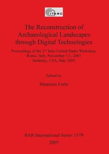
These twenty-four papers form the proceedings of two workshops (one held in Rome in 2003 and the other in Berkeley in 2005) which aimed to reconstruct the archaeological landscape through the application of GIS, spatial analysis, remote sensing, virual reality and other software. The landscapes and projects in question included the Digital Roman Forum Project, the Ca'Tron area of Venice, ancient Andean agricultural landscapes, the Appia Antica project, Santa Maria di Rescamone in Corsica, the identification and visualisation of Roman sites, the archaeology of war, the Tuscan plains and the tomb of Ramesses II. The technical and often methodological papers are fully illustrated.
$9.00 standard shipping within Australia
FREE standard shipping within Australia for orders over $100.00
Express & International shipping calculated at checkout
This title is printed to order. This book may have been self-published. If so, we cannot guarantee the quality of the content. In the main most books will have gone through the editing process however some may not. We therefore suggest that you be aware of this before ordering this book. If in doubt check either the author or publisher’s details as we are unable to accept any returns unless they are faulty. Please contact us if you have any questions.
These twenty-four papers form the proceedings of two workshops (one held in Rome in 2003 and the other in Berkeley in 2005) which aimed to reconstruct the archaeological landscape through the application of GIS, spatial analysis, remote sensing, virual reality and other software. The landscapes and projects in question included the Digital Roman Forum Project, the Ca'Tron area of Venice, ancient Andean agricultural landscapes, the Appia Antica project, Santa Maria di Rescamone in Corsica, the identification and visualisation of Roman sites, the archaeology of war, the Tuscan plains and the tomb of Ramesses II. The technical and often methodological papers are fully illustrated.
Search our extensive online catalogue.
