Readings Newsletter
Become a Readings Member to make your shopping experience even easier.
Sign in or sign up for free!
You’re not far away from qualifying for FREE standard shipping within Australia
You’ve qualified for FREE standard shipping within Australia
The cart is loading…


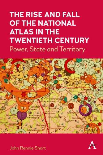
Between 1900 and 2000, more than seventy countries produced a national atlas, an official or quasi-official rendering of the nation-state in maps and accompanying text. This book considers the reasons behind and characteristics of this state-sponsored cartographic explosion. These national atlases mirror and embody some of the important themes of this turbulent century, including the complex connections between nation, state and territory, the rise of state-sponsored science; the growth of nation-states; colonialism and postcolonialism; and the geography of biopolitics.
$9.00 standard shipping within Australia
FREE standard shipping within Australia for orders over $100.00
Express & International shipping calculated at checkout
Between 1900 and 2000, more than seventy countries produced a national atlas, an official or quasi-official rendering of the nation-state in maps and accompanying text. This book considers the reasons behind and characteristics of this state-sponsored cartographic explosion. These national atlases mirror and embody some of the important themes of this turbulent century, including the complex connections between nation, state and territory, the rise of state-sponsored science; the growth of nation-states; colonialism and postcolonialism; and the geography of biopolitics.