Readings Newsletter
Become a Readings Member to make your shopping experience even easier.
Sign in or sign up for free!
You’re not far away from qualifying for FREE standard shipping within Australia
You’ve qualified for FREE standard shipping within Australia
The cart is loading…


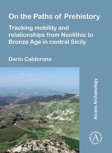
On the Paths of Prehistory presents research on the settlements of the area of Milena in central-southern Sicily (Italy), home to settlements dating from the Neolithic period to the Middle Ages. The author's archaeological investigations employ integrated remote sensing methodologies to correlate settlement strategies within the particular geomorphology of the landscape. Using various research methods and sources, including satellite imagery, 3D models of the landscape, field and aerial surveys, the author identifies natural pathways that were likely used throughout prehistory to reach the coasts from this inland region that continued to be used in more recent historical periods, including the Roman period and the Middle Ages.
Building upon prior scholarship, this work utilizes new visualizations and evidence to re-evaluate central southern Sicily's relationships with its neighboring regions and the Aegean, revealing the interconnections of the sea, coastal areas, and the Sicilian hinterland. By examining the archaeological heritage of the area in the longue duree, this work demonstrates that the route-ways used in later periods were also used in prehistory. The work concludes with a full topographical catalogue of archaeological sites in this part of Sicily, updating the state of knowledge in the region for the first time in a quarter century.
$9.00 standard shipping within Australia
FREE standard shipping within Australia for orders over $100.00
Express & International shipping calculated at checkout
On the Paths of Prehistory presents research on the settlements of the area of Milena in central-southern Sicily (Italy), home to settlements dating from the Neolithic period to the Middle Ages. The author's archaeological investigations employ integrated remote sensing methodologies to correlate settlement strategies within the particular geomorphology of the landscape. Using various research methods and sources, including satellite imagery, 3D models of the landscape, field and aerial surveys, the author identifies natural pathways that were likely used throughout prehistory to reach the coasts from this inland region that continued to be used in more recent historical periods, including the Roman period and the Middle Ages.
Building upon prior scholarship, this work utilizes new visualizations and evidence to re-evaluate central southern Sicily's relationships with its neighboring regions and the Aegean, revealing the interconnections of the sea, coastal areas, and the Sicilian hinterland. By examining the archaeological heritage of the area in the longue duree, this work demonstrates that the route-ways used in later periods were also used in prehistory. The work concludes with a full topographical catalogue of archaeological sites in this part of Sicily, updating the state of knowledge in the region for the first time in a quarter century.