Readings Newsletter
Become a Readings Member to make your shopping experience even easier.
Sign in or sign up for free!
You’re not far away from qualifying for FREE standard shipping within Australia
You’ve qualified for FREE standard shipping within Australia
The cart is loading…


This title is printed to order. This book may have been self-published. If so, we cannot guarantee the quality of the content. In the main most books will have gone through the editing process however some may not. We therefore suggest that you be aware of this before ordering this book. If in doubt check either the author or publisher’s details as we are unable to accept any returns unless they are faulty. Please contact us if you have any questions.
Learn to view, edit and analyse geospatial data using QGIS and Python 3
Key Features
Leverage the power of QGIS to add professionalism to your maps Explore and work with the newly released features like Python 3, GeoPackage, 3D views, Print layouts in QGIS 3.4 Build your own plugins and customize maps using QT designer
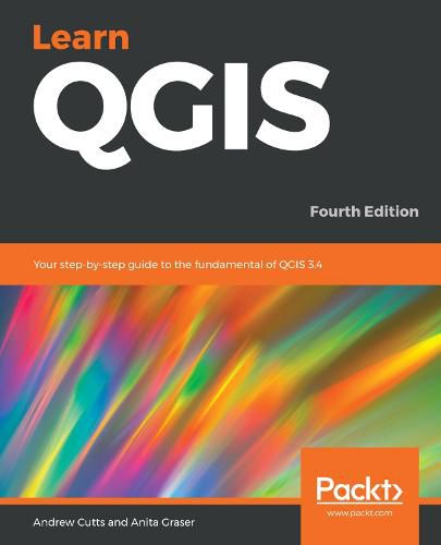
Book DescriptionQGIS 3.4 is the first LTR (long term release) of QGIS version 3. This is a giant leap forward for the project with tons of new features and impactful changes. Learn QGIS is fully updated for QGIS 3.4, covering its processing engine update, Python 3 de-facto coding environment, and the GeoPackage format.
This book will help you get started on your QGIS journey, guiding you to develop your own processing pathway. You will explore the user interface, loading your data, editing, and then creating data. QGIS often surprises new users with its mapping capabilities; you will discover how easily you can style and create your first map. But that’s not all! In the final part of the book, you’ll learn about spatial analysis and the powerful tools in QGIS, and conclude by looking at Python processing options.
By the end of the book, you will have become proficient in geospatial analysis using QGIS and Python.
What you will learn
Explore various ways to load data into QGIS Understand how to style data and present it in a map Create maps and explore ways to expand them Get acquainted with the new processing toolbox in QGIS 3.4 Manipulate your geospatial data and gain quality insights Understand how to customize QGIS 3.4 Work with QGIS 3.4 in 3D
Who this book is forIf you are a developer or consultant familiar with the basic functions and processes of GIS and want to learn how to use QGIS to analyze geospatial data and create rich mapping applications, this book is for you. You’ll also find this book useful if you’re new to QGIS and wish to grasp its fundamentals
$9.00 standard shipping within Australia
FREE standard shipping within Australia for orders over $100.00
Express & International shipping calculated at checkout
This title is printed to order. This book may have been self-published. If so, we cannot guarantee the quality of the content. In the main most books will have gone through the editing process however some may not. We therefore suggest that you be aware of this before ordering this book. If in doubt check either the author or publisher’s details as we are unable to accept any returns unless they are faulty. Please contact us if you have any questions.
Learn to view, edit and analyse geospatial data using QGIS and Python 3
Key Features
Leverage the power of QGIS to add professionalism to your maps Explore and work with the newly released features like Python 3, GeoPackage, 3D views, Print layouts in QGIS 3.4 Build your own plugins and customize maps using QT designer
Book DescriptionQGIS 3.4 is the first LTR (long term release) of QGIS version 3. This is a giant leap forward for the project with tons of new features and impactful changes. Learn QGIS is fully updated for QGIS 3.4, covering its processing engine update, Python 3 de-facto coding environment, and the GeoPackage format.
This book will help you get started on your QGIS journey, guiding you to develop your own processing pathway. You will explore the user interface, loading your data, editing, and then creating data. QGIS often surprises new users with its mapping capabilities; you will discover how easily you can style and create your first map. But that’s not all! In the final part of the book, you’ll learn about spatial analysis and the powerful tools in QGIS, and conclude by looking at Python processing options.
By the end of the book, you will have become proficient in geospatial analysis using QGIS and Python.
What you will learn
Explore various ways to load data into QGIS Understand how to style data and present it in a map Create maps and explore ways to expand them Get acquainted with the new processing toolbox in QGIS 3.4 Manipulate your geospatial data and gain quality insights Understand how to customize QGIS 3.4 Work with QGIS 3.4 in 3D
Who this book is forIf you are a developer or consultant familiar with the basic functions and processes of GIS and want to learn how to use QGIS to analyze geospatial data and create rich mapping applications, this book is for you. You’ll also find this book useful if you’re new to QGIS and wish to grasp its fundamentals