Readings Newsletter
Become a Readings Member to make your shopping experience even easier.
Sign in or sign up for free!
You’re not far away from qualifying for FREE standard shipping within Australia
You’ve qualified for FREE standard shipping within Australia
The cart is loading…


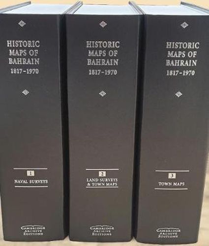
In celebration of the 25 years of Bahrain independence in 1971, Archive Editions presents an impressive collection of previously scattered historic maps and charts of Bahrain island and the surrounding territories. This collection comprises 69 surveys, charts and plans of Bahrain, many in colour, including the complete island and surrounding waters and islands. The publication makes valuable maps available which were previously unknown or inaccessible and is particularly important because of its diversity of sources including some private collections. It begins in 1817 with the first ever mention of Muharraq City on a map and finishes in 1970 with the last maps made before independence. It includes the first ever town plans of Manama and Muharraq to be compiled by the Government of Bahrain, and the first ever accurate land survey of the Hawar islands. There is also a detailed commentary on each map in a separate booklet.
$9.00 standard shipping within Australia
FREE standard shipping within Australia for orders over $100.00
Express & International shipping calculated at checkout
In celebration of the 25 years of Bahrain independence in 1971, Archive Editions presents an impressive collection of previously scattered historic maps and charts of Bahrain island and the surrounding territories. This collection comprises 69 surveys, charts and plans of Bahrain, many in colour, including the complete island and surrounding waters and islands. The publication makes valuable maps available which were previously unknown or inaccessible and is particularly important because of its diversity of sources including some private collections. It begins in 1817 with the first ever mention of Muharraq City on a map and finishes in 1970 with the last maps made before independence. It includes the first ever town plans of Manama and Muharraq to be compiled by the Government of Bahrain, and the first ever accurate land survey of the Hawar islands. There is also a detailed commentary on each map in a separate booklet.
Search our extensive online catalogue.
